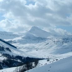
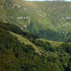
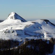
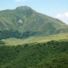
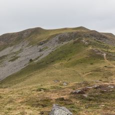
Puy Bataillouse, Mountain summit at 1683 meters in Cantal, France
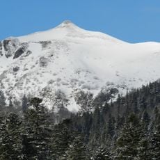
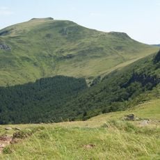
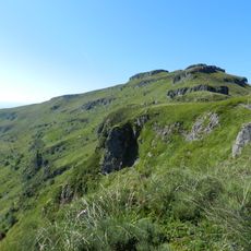
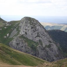
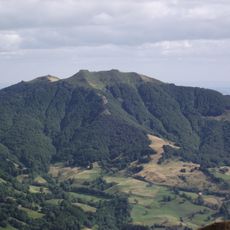
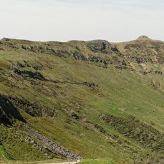
Puy Bataillouse is a summit reaching 1,677 metres in the eastern part of the Cantal stratovolcano, formed by stacked trachyandesitic lava flows. Its peak of exposed gray rock with patches of green vegetation rises above the glacial cirques of the Alagnon, Santoire and Jordanne valleys. Below the summit, slopes of low shrubs, dry grass and brownish vegetation descend toward a dirt path and low fence.
The mountain formed through successive layers of lava flows during intense volcanic activity in the Cantal region approximately 8.5 to 6.5 million years ago. This volcanic period shaped the geological foundation of the entire mountain range.
The name Bataillouse likely comes from the Auvergne term for a battlement or small fortification, echoing the rocky summit. From the top, walkers look out over the glacial cirques of the Alagnon, Santoire and Jordanne valleys, each belonging to a different commune: Laveissière, Lavigerie and Mandailles-Saint-Julien.
The hiking route follows a variation of the GR 400 trail with marked paths that make navigation straightforward. You will gain panoramic views of the surrounding Cantal mountains and Mont Dore ranges along the walk.
The summit marks the meeting point of three glacial cirques, not a river confluence: those of the Alagnon (Laveissière), the Santoire (Lavigerie) and the Jordanne (Mandailles-Saint-Julien). From the top, the Alagnon rises below in the Font d'Alagnon cirque, and the Lioran forest lies to the south-east.
The community of curious travelers
AroundUs brings together thousands of curated places, local tips, and hidden gems, enriched daily by 93,312 contributors worldwide.