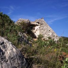
Fort Casal, fortification à Colomars, Alpes-Maritimes
Location: Colomars
Inception: 1888
GPS coordinates: 43.76594,7.22367
Latest update: April 18, 2025 17:14
French pyramids
3.4 km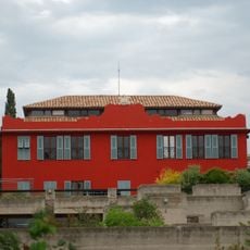
Villa Arson
5.5 km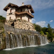
Cascade de Gairault
4.3 km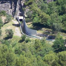
Canal de la Vésubie
5.6 km
Fort du Mont Chauve
2.5 km
Castagniers Abbey
4 km
Banquière
6.2 km
Église Saint-Sauveur de Gairaut
4.3 km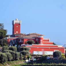
Cremat Castle
4.9 km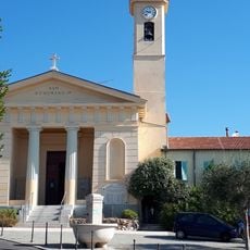
Église Saint-Roman de Bellet
2.5 km
Église Saint-Jean-l'Évangéliste de Nice
4.8 km
Château de Tourrette-Levens
4.7 km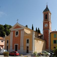
Église Sainte-Rosalie de Tourrette-Levens
4.8 km
Centre international d'art contemporain de Carros
4.2 km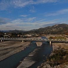
Pont de la Manda
1.6 km
Golf Country Club
4.3 km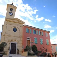
Église de la Nativité-de-la-Sainte-Vierge de Falicon
4.8 km
Musée Prieuré du Vieux-Logis
5.6 km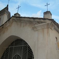
Église Notre-Dame des Selves de Carros
2 km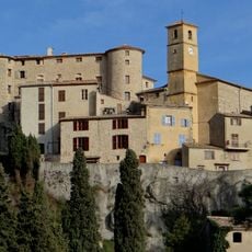
Église Saint-Claude de Carros
4.2 km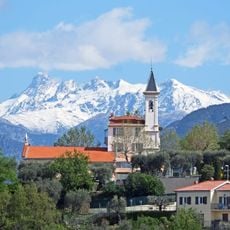
Église de la Nativité-de-Notre-Dame de Colomars
934 m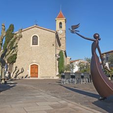
Église Saint-Michel de Castagniers
2.8 km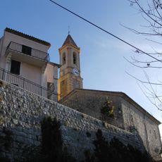
Église Saint-Jacques d'Aspremont
2.5 km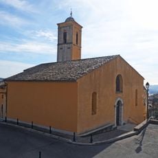
Église Saint-Nicolas de Gattières
3.9 km
Enghièri viaduct
2.8 km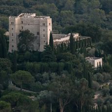
Château de la Gaude, Saint-Jeannet
5.1 km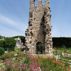
Église primitive de Carros-Village
4.3 km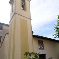
Chapelle Sainte-Croix des Pénitents blancs de Falicon
4.9 kmVisited this place? Tap the stars to rate it and share your experience / photos with the community! Try now! You can cancel it anytime.
Discover hidden gems everywhere you go!
From secret cafés to breathtaking viewpoints, skip the crowded tourist spots and find places that match your style. Our app makes it easy with voice search, smart filtering, route optimization, and insider tips from travelers worldwide. Download now for the complete mobile experience.

A unique approach to discovering new places❞
— Le Figaro
All the places worth exploring❞
— France Info
A tailor-made excursion in just a few clicks❞
— 20 Minutes