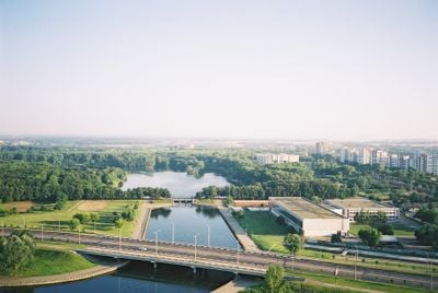
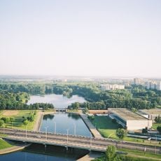
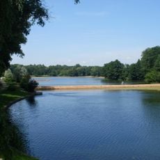
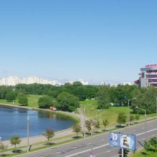
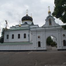
Minsk water and greenery diameter, Recreation area along Svislach River in Minsk, Belarus
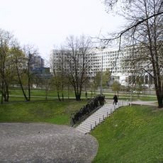
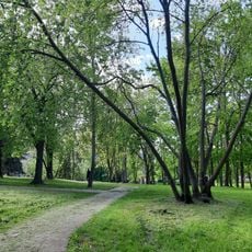
The Minsk water and greenery diameter is a connected network of riverside paths, parks, and green corridors that follows the rivers and canals running through the city. It links very different areas, from open meadows to denser tree-covered sections, through a continuous route for walkers and cyclists.
The network was laid out in the 1970s as part of an urban planning effort to bring green spaces and water into a rapidly growing city. The idea was to link existing rivers and parks into one connected corridor rather than leave them as isolated spots.
Along the waterways, small bridges and riverbank steps invite people to sit close to the water and watch the flow of daily life. The route connects neighborhoods in a way that makes the city feel less divided, and locals use it as a natural path between districts.
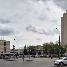
The network can be entered from many points around the city and works well for both walking and cycling. Several sections sit close to metro stations, which makes it easy to reach a specific part of the route without crossing the entire city on foot.
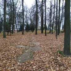
Although the network feels like one green belt, it actually follows several different waterways that are not always directly connected. In some places the path crosses to the other side of the river and passes through neighborhoods with very different characters.
The community of curious travelers
AroundUs brings together thousands of curated places, local tips, and hidden gems, enriched daily by 60,000 contributors worldwide.