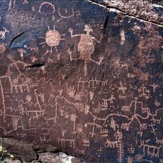
Painted Desert Community Complex Historic District, Modernist historic district in Apache County, United States.
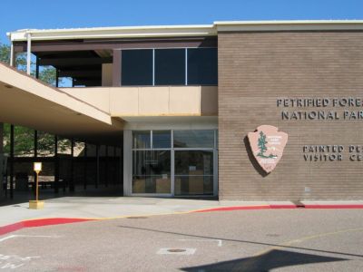
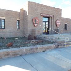
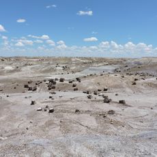
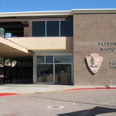
The Painted Desert Community Complex is a modernist historic district in Arizona comprising 23 buildings and structures forming a self-contained community near Interstate 40. The site was designed by architect Richard Neutra and includes zones for administration, commerce, recreation, and residential use arranged around a central plaza.
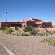
The complex was built as part of Mission 66, a major program to modernize national parks during the 1960s. Neutra designed it in 1958, and construction took place between 1961 and 1965.
The architectural design shows modern forms that deliberately differ from traditional park buildings while still fitting into the desert landscape. The structures use clean lines and open spaces that echo pueblo-like arrangements.
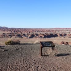
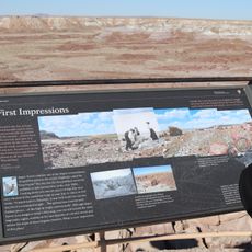
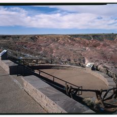
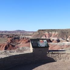
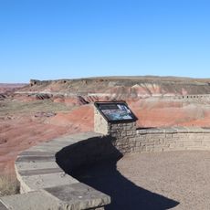
The site is easily visible from the main road and accessible for self-guided visits, with informative materials available at the visitor center. Guided tours can be reserved in advance if you want to learn more about the architecture and history.
The complex was deliberately designed around materials and ways of living suited to the desert region rather than copying a typical administrative building. This approach made it an unusual design for park infrastructure at the time.
The community of curious travelers
AroundUs brings together thousands of curated places, local tips, and hidden gems, enriched daily by 60,000 contributors worldwide.