Enable Location

We need your location to show you interesting places around you

Discover nearby places

Find interesting locations and hidden gems around you

Precise directions

Get accurate directions and distances to places

Your location is never shared with other users. It's only used when you tap the location button.

Apache County

Log in to your account

Start exploring — it's free

Trusted by 62,903 travelers worldwide

Continue with Google
Continue with Apple
or

We will send you a code to connect

By continuing, you accept our Terms and Conditions and our Privacy Policy

Check your inbox

We've sent a pincode in your inbox. Please enter the code below.

Discussion Reviews 9 Photos
50.4k Popularity

Apache County, Administrative division in northeastern Arizona, United States.

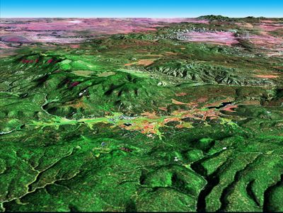
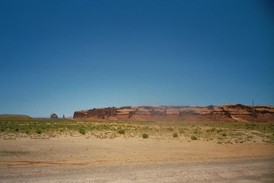
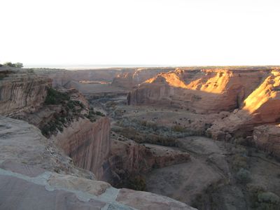
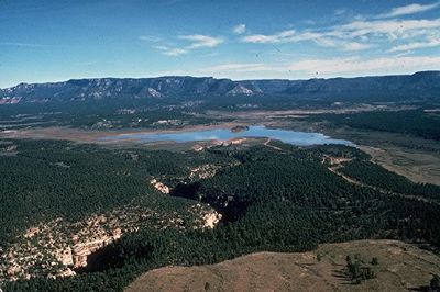
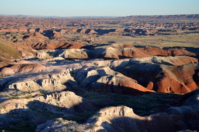
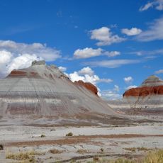
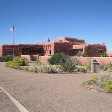
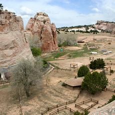
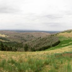
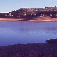
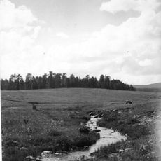
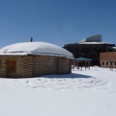
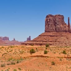
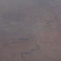
Apache County is an administrative region in northeastern Arizona with diverse terrain including mountains, deserts, and forests. The area covers a large section of land with varying elevations and ecosystems throughout its extent.

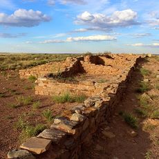
The county was established in 1879 after being separated from the historic Yavapai County. Its name comes from the Apache peoples who traditionally lived in this region.

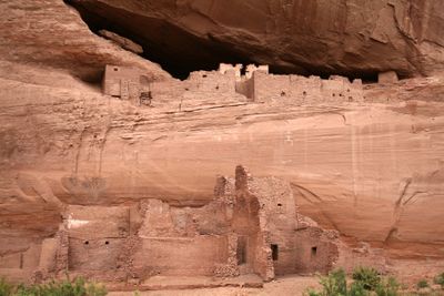
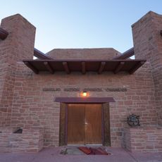
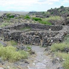
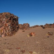
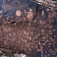
The region is home to large parts of the Navajo Nation and the Fort Apache Indian Reservation, where communities maintain their traditions in daily life and crafts. The presence of these peoples shapes how the place looks and feels locally.

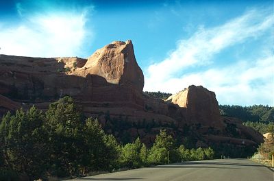
The region is accessible via U.S. Route 191 and Interstate 40, which connect different towns and areas. Visitors should plan ahead as some parts are remote and roads can vary in condition.

The area holds the highest proportion of reservation land among all U.S. counties, with over two-thirds of its territory designated as reservations. This distinction makes it a key place for self-governance by Native American nations.

The community of curious travelers

AroundUs brings together thousands of curated places, local tips, and hidden gems, enriched daily by 60,000 contributors worldwide.

Start exploring
Location
Inception
1879
Capital city
St. Johns
Shares border with
San Juan County, Greenlee County, Graham County, McKinley County, Navajo County, Cibola County, Montezuma County, Catron County
GPS coordinates
35.42389,-109.44250
Latest update
December 14, 2025 18:36
Around this place
Four Corners Monument
United States of America

Four Corners Monument

178.9 km
Petrified Forest National Park
United States of America

Petrified Forest National Park

49.9 km
Mount Baldy
United States of America

Mount Baldy

169.3 km
Navajo Nation Council Chamber
United States of America

Navajo Nation Council Chamber

45.5 km
Round Valley Ensphere
United States of America

Round Valley Ensphere

145.8 km
Painted Desert Inn
United States of America

Painted Desert Inn

49.2 km
Navajo Nation Zoological and Botanical Park
United States of America

Navajo Nation Zoological and Botanical Park

44.4 km
Escudilla Mountain
United States of America

Escudilla Mountain

165.9 km
Lyman Reservoir
United States of America

Lyman Reservoir

118.8 km
Apache National Forest
United States of America

Apache National Forest

207.5 km
Navajo Nation Museum
United States of America

Navajo Nation Museum

44.3 km
Casa Malpaís
United States of America

Casa Malpaís

142.4 km
Agate House Pueblo
United States of America

Agate House Pueblo

78.7 km
Roof Butte
United States of America

Roof Butte

119.6 km
Newspaper Rock Petroglyphs Archeological District
United States of America

Newspaper Rock Petroglyphs Archeological District

60.8 km
Navajo section
United States of America

Navajo section

119.9 km
Puerco Ruin and Petroglyphs
United States of America

Puerco Ruin and Petroglyphs

59.3 km
Painted Desert Community Complex Historic District
United States of America

Painted Desert Community Complex Historic District

50.1 km
United States of America

Scott Reservoir

146.9 km
United States of America

Mount Ord

166.1 km
United States of America

White Mountain Grasslands Wildlife Area

150.1 km
United States of America

Bear Wallow Wilderness

202.8 km
United States of America

River Reservoir

154.8 km
United States of America

Nelson Reservoir

154 km
United States of America

Horseshoe Cienega Lake

156.4 km
United States of America

Woodland Reservoir

151.7 km
United States of America

Sage Memorial Hospital School of Nursing

33.3 km
Alpine Elementary School
United States of America

Alpine Elementary School

179.8 km
Show the full map
Reviews
Share your experience

No review yet

Discussions
Start a discussion...

No discussion yet

Administrative divisions
« Apache County - Administrative division in northeastern Arizona, United States » is provided by Around Us (aroundus.com). Images and texts are derived from Wikimedia project under a Creative Commons license. You are allowed to copy, distribute, and modify copies of this page, under the conditions set by the license, as long as this note is clearly visible.

Discover hidden gems everywhere you go!

From secret cafés to breathtaking viewpoints, skip the crowded tourist spots and find places that match your style. Our app makes it easy with voice search, smart filtering, route optimization, and insider tips from travelers worldwide. Download now for the complete mobile experience.

Around Us App Screenshot

A unique approach to discovering new places

Le Figaro

All the places worth exploring

France Info

A tailor-made excursion in just a few clicks

20 Minutes

Around Us
Travel Guide & Maps
Download

Send to your phone

QR Code
1

Open the camera app on your mobile.

2

Point at the QR code with your camera. A notification will appear.

3

Tap the notification to open the link.