Petrified Forest National Park, National park in northern Arizona, United States.
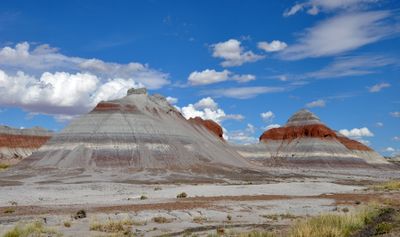
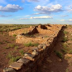
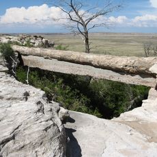
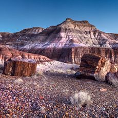
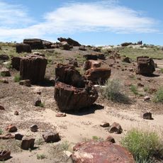
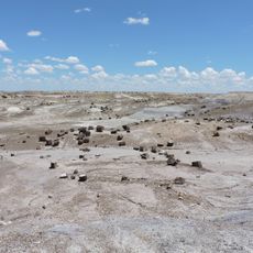
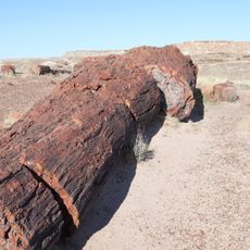
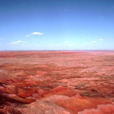
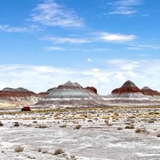
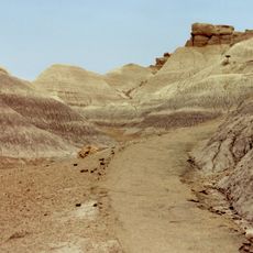
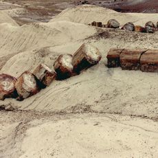
Petrified Forest National Park is a protected area in Arizona where ancient trees have turned to stone and lie scattered across colorful desert badlands. The park also holds archaeological remains of pueblos and villages showing human settlement across many centuries.
The area became protected in 1906 as a monument and was made a national park in 1962 to preserve its geological formations and ancient remains. This transition marked a shift toward protecting both the landscape itself and evidence of human life spanning many thousand years.
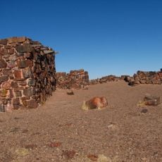
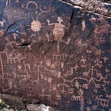
Indigenous peoples have lived here for thousands of years, and you can see their mark through ancient settlements and carved symbols on rock faces throughout the park. These sites show how deeply connected tribes were to this land across many generations.
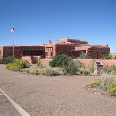
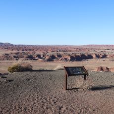
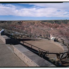
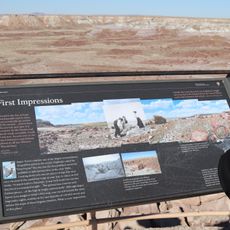
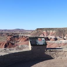
The park is open year-round and offers a scenic driving route along with various hiking trails suitable for different fitness levels. Some trails are paved and straightforward, while others take you deeper into backcountry terrain that requires more effort and planning.
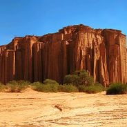
The park is recognized as a Dark Sky Park, meaning the night sky here remains dark enough to see countless stars without light pollution interfering. The scattered logs represent one of the largest collections of petrified wood found anywhere on Earth.
The community of curious travelers
AroundUs brings together thousands of curated places, local tips, and hidden gems, enriched daily by 60,000 contributors worldwide.