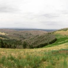
Mount Baldy, Sacred summit in Apache County, Arizona
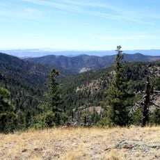
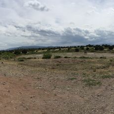
Mount Baldy is a mountain in Apache County, Arizona, rising to about 11,400 feet and marking the highest point in the White Mountains range. Two main hiking trails climb the peak, with a crossover path that lets hikers explore the summit area in different ways.
The peak was named Mount Thomas in 1873 by Captain George Wheeler to honor General Lorenzo Thomas for his role in the Mexican-American War. Over time, the simpler name Mount Baldy became more common locally and eventually replaced the original designation.
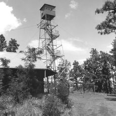
The Western Apache call this mountain Dził Łigai and regard it as one of their sacred places in the region. You can sense this spiritual importance through prayer locations and offerings left by people along the trails.
Hiking this peak is possible year-round, but winter brings snow and makes the climb much harder. Bring plenty of water and weatherproof clothes, especially if you want to reach the top while light remains.
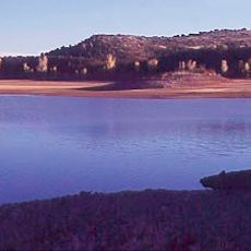
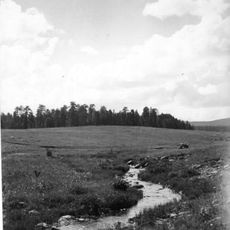
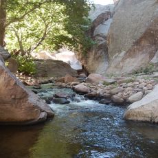
The peak serves as the source for two major river systems in the region, which develop into some of the most productive trout streams in the state. This water source feature makes the summit interesting not just for hikers but also for those curious about the land's natural water systems.
The community of curious travelers
AroundUs brings together thousands of curated places, local tips, and hidden gems, enriched daily by 60,000 contributors worldwide.