Enable Location

We need your location to show you interesting places around you

Discover nearby places

Find interesting locations and hidden gems around you

Precise directions

Get accurate directions and distances to places

Your location is never shared with other users. It's only used when you tap the location button.

Ute Mountain

Log in to your account

Start exploring — it's free

Trusted by 61,657 travelers worldwide

Continue with Google
Continue with Apple
or

We will send you a code to connect

By continuing, you accept our Terms and Conditions and our Privacy Policy

Check your inbox

We've sent a pincode in your inbox. Please enter the code below.

Ute Mountain

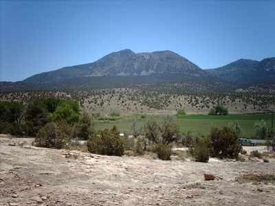
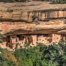
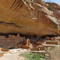
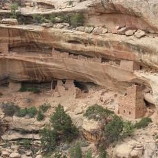
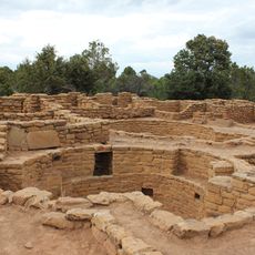
Ute Mountain, Sacred mountain peak in Montezuma County, Colorado.

Description

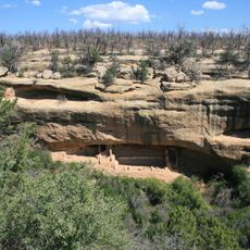
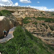
Ute Mountain is a peak in southwestern Colorado reaching approximately 10,000 feet, with slopes blanketed in pinyon pine, ponderosa pine, aspen, and Douglas fir. The formation represents a distinct volcanic uplift surrounded by lower plateaus and valleys.

History

The mountain emerged as a sacred center for Ute bands before becoming formalized within a reservation through late 19th-century treaties. This legal recognition established lasting tribal governance over the entire mountain range.

Culture

The mountain holds deep spiritual meaning for the Ute people and is woven into their identity. Its silhouette resembles a resting chief when viewed from the plains below, a feature that has shaped how the community understands the land.

Practical

Access to the mountain is controlled by the Ute Mountain Ute Tribe, with limited roads and trails open to visitors. It is best to check current access conditions before planning a visit since regulations may restrict certain routes.

Did you know?

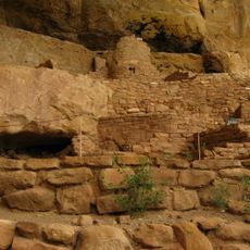
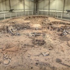
The mountain's rock formations date back roughly 70 million years and showcase porphyritic hornblende diorite and related igneous compositions. This ancient geology offers visitors a window into the region's volcanic past.

Location
GPS coordinates
37.28416,-108.77871
Latest update
December 7, 2025 20:20

AroundUs brings together thousands of curated places, local tips, and hidden gems, enriched daily by 60,000 contributors worldwide. Discover all places nearby (Montezuma County).

Around this place
Mesa Verde National Park
United States of America

Mesa Verde National Park

29.6 km
Anasazi Heritage Center
United States of America

Anasazi Heritage Center

29.7 km
Chimney Rock
United States of America

Chimney Rock

23.6 km
Mesa Verde Administrative District
United States of America

Mesa Verde Administrative District

28 km
Chapin Mesa Archeological Museum
United States of America

Chapin Mesa Archeological Museum

28 km
Old Cortez High School
United States of America

Old Cortez High School

18.7 km
Montezuma Valley Irrigation Company Flume No. 6
United States of America

Montezuma Valley Irrigation Company Flume No. 6

25.4 km
Montezuma Valley National Bank and Store Building
United States of America

Montezuma Valley National Bank and Store Building

18.6 km
Square Tower House
United States of America

Square Tower House

28.7 km
Spruce Tree House
United States of America

Spruce Tree House

28.1 km
Long House
United States of America

Long House

24.1 km
Kodak House
United States of America

Kodak House

24.9 km
Far View Reservoir
United States of America

Far View Reservoir

24.7 km
Fire Temple
United States of America

Fire Temple

29.7 km
Megalithic House
United States of America

Megalithic House

24.8 km
Far View House
United States of America

Far View House

24.9 km
Step House
United States of America

Step House

23.6 km
Coyote Village
United States of America

Coyote Village

24.7 km
Far View Sites Complex
United States of America

Far View Sites Complex

24.7 km
Pipe Shrine House
United States of America

Pipe Shrine House

24.9 km
Far View Tower
United States of America

Far View Tower

24.8 km
Pithouse
United States of America

Pithouse

28.7 km
Far View Visitor Center
United States of America

Far View Visitor Center

25.1 km
Park Point Lookout
United States of America

Park Point Lookout

28.1 km
Step House Trail
United States of America

Step House Trail

23.6 km
Colorado Welcome Center at Cortez
United States of America

Colorado Welcome Center at Cortez

19.6 km
Mesa Verde Community Building
United States of America

Mesa Verde Community Building

28.1 km
Mesa Verde Superintendent's Residence
United States of America

Mesa Verde Superintendent's Residence

28.1 km
Show the full map
« Ute Mountain - Sacred mountain peak in Montezuma County, Colorado » is provided by Around Us (aroundus.com). Images and texts are derived from Wikimedia project under a Creative Commons license. You are allowed to copy, distribute, and modify copies of this page, under the conditions set by the license, as long as this note is clearly visible.

Discover hidden gems everywhere you go!

From secret cafés to breathtaking viewpoints, skip the crowded tourist spots and find places that match your style. Our app makes it easy with voice search, smart filtering, route optimization, and insider tips from travelers worldwide. Download now for the complete mobile experience.

Around Us App Screenshot

A unique approach to discovering new places

Le Figaro

All the places worth exploring

France Info

A tailor-made excursion in just a few clicks

20 Minutes

Around Us
Travel Guide & Maps
Download

Send to your phone

QR Code
1

Open the camera app on your mobile.

2

Point at the QR code with your camera. A notification will appear.

3

Tap the notification to open the link.