Schwarzenburg, Protected municipality in Bern, Switzerland
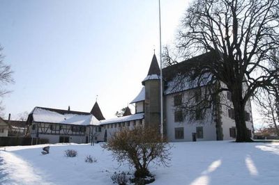
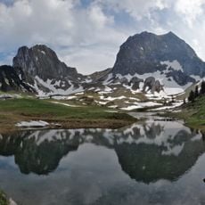
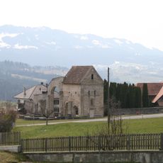
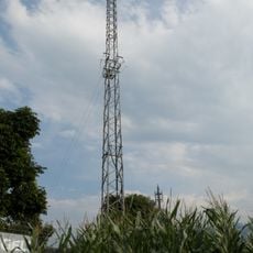
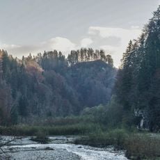
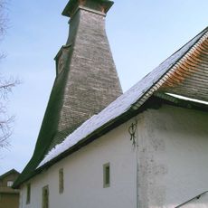
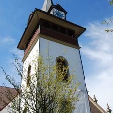
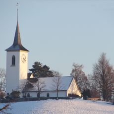
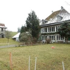
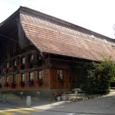
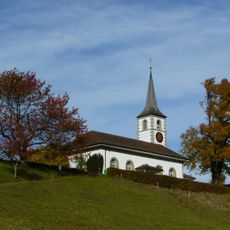
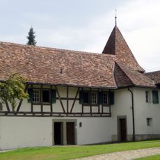
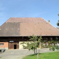
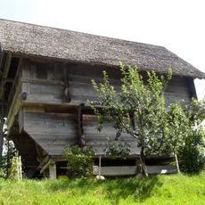
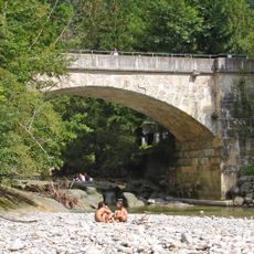
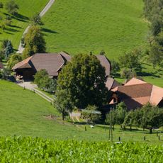
Schwarzenburg is a municipality in the Bern-Mittelland district of Switzerland situated at around 800 meters elevation and surrounded by agricultural fields and forests. The place has a classic Swiss village appearance with scattered houses, a small chapel, and close ties to the surrounding landscape.
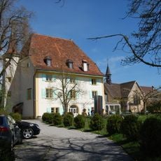
The municipality has maintained its boundaries for centuries and documents local administration dating back to the 16th century in its archives. This administrative stability during numerous changes in Swiss politics shows the enduring role of the place as a local governance center.
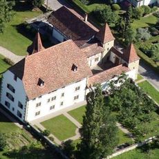
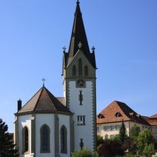
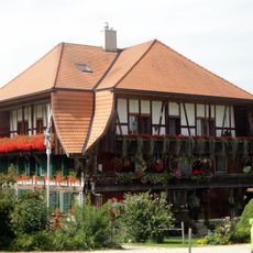
The village takes its name from its location on a dark hill and displays the typical layout of a Swiss village center with narrow lanes and older buildings. The community maintains its rural identity through farming and small local trades that shape the character of the place.
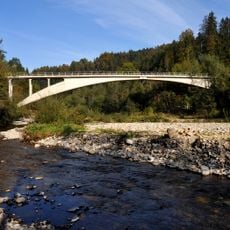
The best time to visit is in the warmer months when walking paths are dry and the surrounding countryside appears most green. As the place is small and rural, visiting requires personal transport and a car or bicycle is practical for getting around.
The village is known for its unusually old archival records stretching back to the early 16th century that preserve rare documentation of daily life in a small Swiss community. These detailed records offer insights into topics like farming, guild systems, and local disputes spanning several centuries.
The community of curious travelers
AroundUs brings together thousands of curated places, local tips, and hidden gems, enriched daily by 60,000 contributors worldwide.