Colorado Plateau, Natural plateau in southwestern United States.
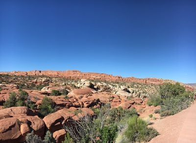
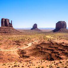
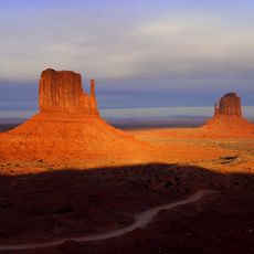
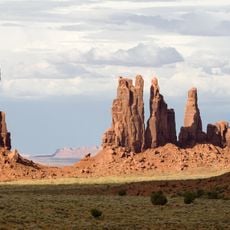
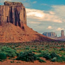
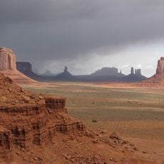
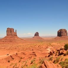
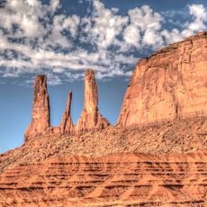
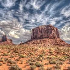
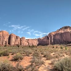
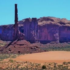
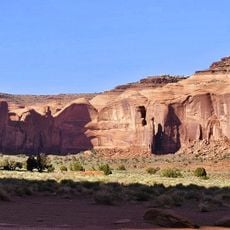
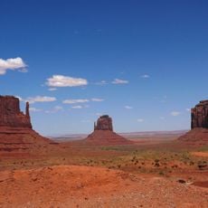
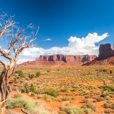
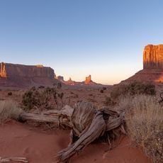
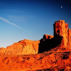
The Colorado Plateau is a broad elevated region spanning parts of Arizona, Utah, Colorado, and New Mexico in the southwestern United States. The landscape reveals deep canyons with layered rock walls, flat-topped mesas, and scattered mountain ranges rising above the arid surroundings.
The rise of the plateau began roughly 70 million years ago through tectonic forces that lifted the rock without severely deforming or folding it. Rivers then carved through the exposed layers, shaping the deep canyons and valleys over millions of years.
The Ancestral Puebloan People inhabited the Colorado Plateau region from approximately 2000 to 700 years ago, establishing settlements throughout the area.
Elevations range from low desert valleys to mountain zones above 12,500 feet (3,800 meters), so visitors should prepare for changing temperatures and thinner air at higher spots. Dry conditions dominate year-round, making adequate water essential during any exploration.
The colorful rock of the plateau consists of many layers deposited over hundreds of millions of years and now exposed to view. Some of these formations show traces of ancient oceans, dunes, and river deltas that shaped the landscape in the distant past.
The community of curious travelers
AroundUs brings together thousands of curated places, local tips, and hidden gems, enriched daily by 60,000 contributors worldwide.