
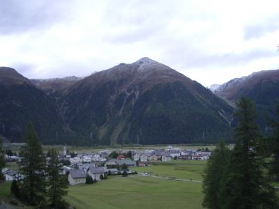
Bever, municipality in Graubünden, Switzerland
Location: Maloja Region
Elevation above the sea: 1,708 m
Shares border with: Bergün/Bravuogn, La Punt-Chamues-ch, Marmorera, Samedan, Sur, Tinizong-Rona, Madulain
Website: https://gemeinde-bever.ch
GPS coordinates: 46.54972,9.88306
Latest update: March 10, 2025 02:12
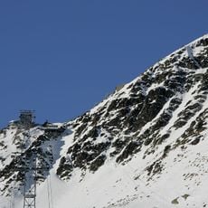
Piz Nair
8.8 km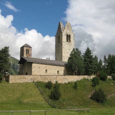
San Gian
4.2 km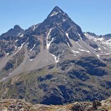
Piz Ot
5.6 km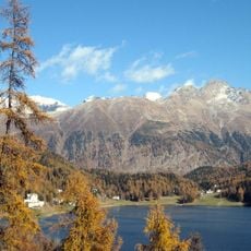
Schafberg
5.1 km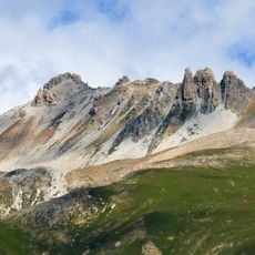
Trais Fluors
5.2 km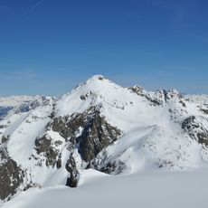
Piz Calderas
14.4 km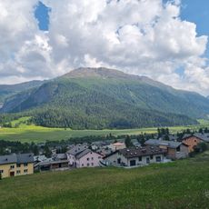
Munt Müsella
3.8 km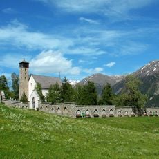
St. Peter old church
2 km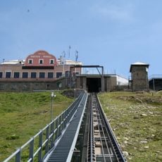
Muottas-Muragl-Bahn
4 km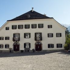
Chesa Planta
1.9 km
Tschima da Flix
14.1 km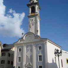
Reformed church
2 km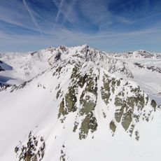
Piz Surgonda
12.9 km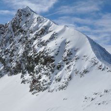
Piz d'Agnel
14.5 km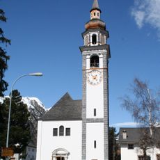
Reformed church
553 m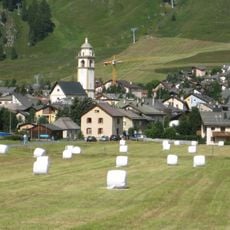
Bel Taimpel
4.4 km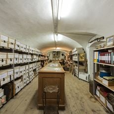
Upper Engadine Cultural Archives
2 km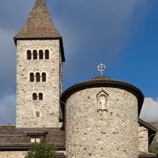
Baselgia catolica Herz-Jesu
2.1 km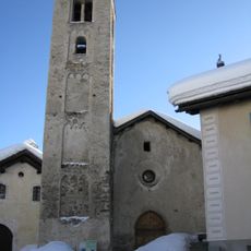
Reformierte Kirche Celerina Crasta
4.8 km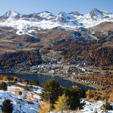
Piz Saluver
7 km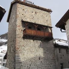
La Tuor
2 km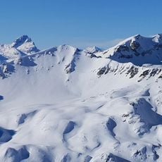
Corn Suvretta
11.4 km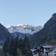
La Piramida
8.8 km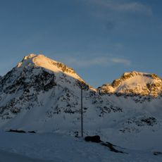
Piz Suvretta
10.3 km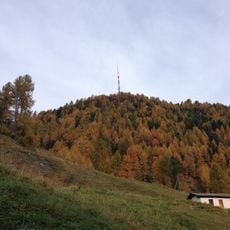
Sender Celerina
5.9 km
Piz Picuogl
13.7 km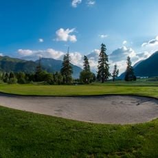
Golfcourse Samedan
3.3 km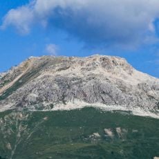
Piz Padella
4.1 kmVisited this place? Tap the stars to rate it and share your experience / photos with the community! Try now! You can cancel it anytime.
Discover hidden gems everywhere you go!
From secret cafés to breathtaking viewpoints, skip the crowded tourist spots and find places that match your style. Our app makes it easy with voice search, smart filtering, route optimization, and insider tips from travelers worldwide. Download now for the complete mobile experience.

A unique approach to discovering new places❞
— Le Figaro
All the places worth exploring❞
— France Info
A tailor-made excursion in just a few clicks❞
— 20 Minutes