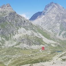
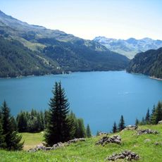
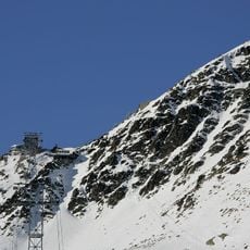
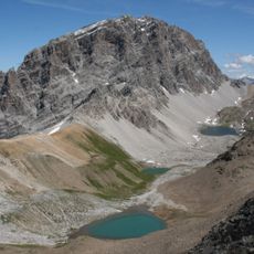
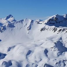
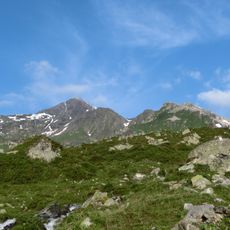
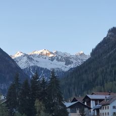
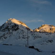
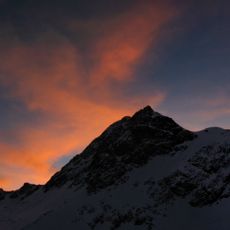
Piz Calderas, Mountain peak in Grisons, Switzerland
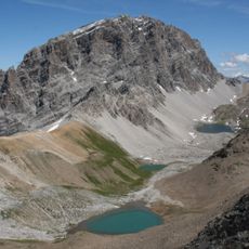
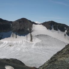
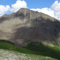
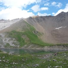
Piz Calderas is the highest summit of the Oberhalbstein, reaching 3397 m in the Calderas group of the Albula Alps. Its name comes from the Surmiran Romansh word for a mountain basin. Two glaciers lie on its flanks, the Vadret d'Err to the north and the Vadret Calderas to the south, and the municipal boundary between Surses and Bever runs over the top.
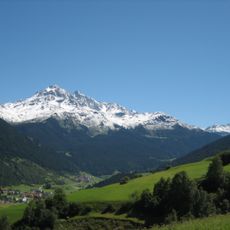
Piz Calderas is the highest point of the Oberhalbstein, reaching 3397 m, and its summit carries the municipal boundary between Surses and Bever. The name comes from the Surmiran Romansh word for a mountain basin or cauldron. It belongs to the Calderas group in the Err area of the Albula Alps, framed by Val Bever to the east and the Oberhalbstein to the west.
The name Piz Calderas comes from the Surmiran Romansh word for a cauldron or basin, referring to the hollow between the Julier and Albula passes. The summit marks the municipal boundary between Surses and Bever, and the two glaciers on its flanks are named Vadret d'Err to the north and Vadret Calderas to the south.
The normal route and the winter route run from the Chamanna Jenatsch (2652 m) over the Vadret Calderas glacier to the summit, rated L and taking about 2.5 hours. The north ridge from the same hut is rated ZS and takes 2.5 hours; the north-west couloir, reached from Cuorts on the Alp Flix (1963 m), steepens to 45° near the top. The south-west route from Tigias (1975 m) is reserved for good alpinists.
Piz Calderas has two glaciers: the Vadret d'Err on its north side and the Vadret Calderas on its south side. Its Romansh name, in the Surmiran idiom, means "cauldron" or "basin", referring to the hollow below the summit.
The community of curious travelers
AroundUs brings together thousands of curated places, local tips, and hidden gems, enriched daily by 94,111 contributors worldwide.