Parc Ela, Protected area in Grisons, Switzerland
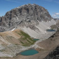
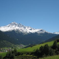
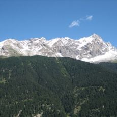
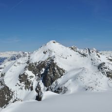
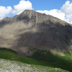
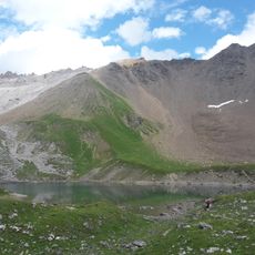
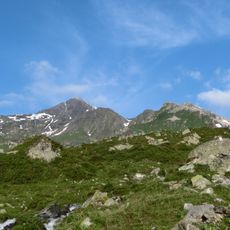
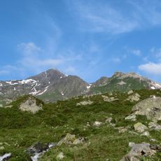
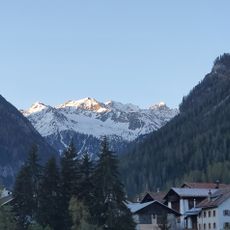
Parc Ela is a protected area in Grisons that spreads across steep mountain summits, glaciers, alpine lakes, dense forests, and flower-rich meadows. The park displays diverse natural landscapes within its boundaries at varying elevations.
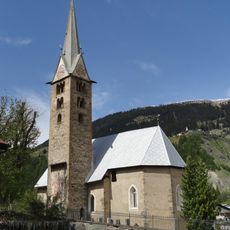
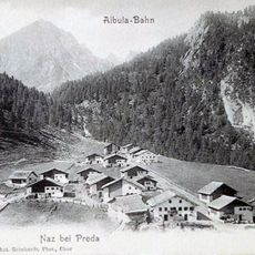
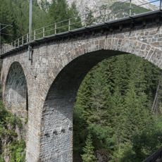
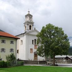
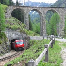
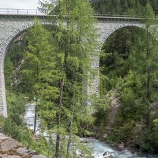
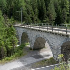
The Albula, Julier and Septimer passes were already used in the Bronze Age, and the trade over them left medieval castles, Romanesque and Baroque churches and ten village centres of national importance. The church of St. Peter Mistail near Alvaschein was built around 800 under Charlemagne, with three original apses. Since July 2008 the Albula line of the Rhaetian Railway, more than 100 years old, belongs to the UNESCO World Heritage.
The territory is shaped by three language groups, with Romansh, German, and Italian speakers living side by side. This linguistic diversity appears in place names, local customs, and how communities interact with each other.
The park holds over 1000 km of waymarked trails, from village walks and themed routes such as the Exploratour on geology and the FiliTour on Engadinerhaus history to day and multi-day hikes like the Via Sett. National Route 6, the Alpenpässe-Weg, crosses the park from the Fuorcla d'Agnel at 2982 m to an unnamed pass at 2453 m near Falotta. The dinosaur tracks on Piz Ela are reachable only by people with mountaineering experience.
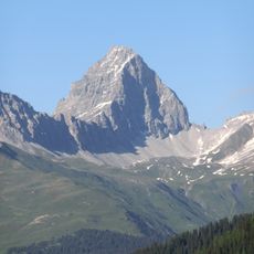
The park's name comes from Piz Ela, a mountain between Albula Valley and Surses. In Romansh, 'Ela' means wing, referencing the mountain's distinctive form.
The community of curious travelers
AroundUs brings together thousands of curated places, local tips, and hidden gems, enriched daily by 94,036 contributors worldwide.