Piz Mitgel, Mountain summit in Grisons, Switzerland
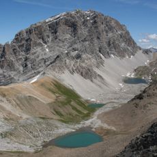
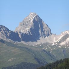
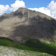
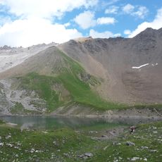
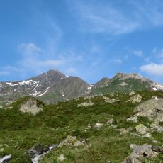
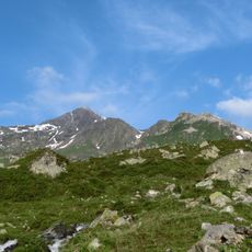
Piz Mitgel is a 3,158.8 m summit in the Bergüner Stöcke, a subgroup of the Albula Alps, separating the Albula valley to the north from the Oberhalbstein to the southwest. Its south face drops almost vertically toward Savognin, while the municipal boundary between Surses and Bergün Filisur runs over the top. The mountain lies within the 600 km² Parc Ela, opened in 2006.
The mountain sits along ancient trade routes that have connected communities across Graubünden for centuries. These passages were vital for exchange between valleys in this Alpine region.
The mountain was long called Piz St. Michel or Piz Michel in German-speaking Graubünden, a name still shown on the Dufour map. Since 2005 climbers have used the Senda Ferrada via ferrata, with its three sections Senda Verticala, Senda Diagonala and Senda Finala. The route is currently closed because of rockfall risk, and ropes have been partly removed.
The Senda Ferrada is a secured climbing route with iron ladders and cables along the path to the top. Proper climbing gear and dry weather are needed to safely complete this route.
The summit is reached by the Senda Ferrada via ferrata, opened in 2005, with three sections: Senda Verticala, Senda Diagonala and Senda Finala. The route has been closed for increased rockfall risk, and ropes in the Verticala and Diagonala sections were partly removed, so any ascent is at one's own risk.
The community of curious travelers
AroundUs brings together thousands of curated places, local tips, and hidden gems, enriched daily by 94,153 contributors worldwide.