
Hombrechtikon, municipality in the canton of Zürich, Switzerland
Location: Meilen District
Location: Zürich
Elevation above the sea: 464 m
Shares border with: Bubikon, Grüningen, Oetwil am See, Freienbach, Stäfa, Rapperswil-Jona
Website: http://hombrechtikon.ch
GPS coordinates: 47.25333,8.77028
Latest update: April 1, 2025 07:18
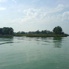
Ufenau
4 km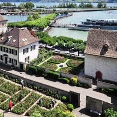
Rapperswil Rose Gardens
4.4 km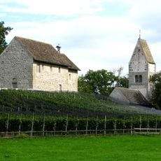
St. Peter and Paul Church
4 km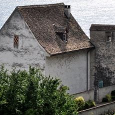
Einsiedlerhaus
4.4 km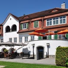
Villa Sunneschy
3.4 km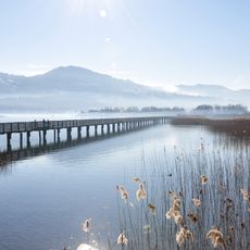
Freienbach-Hurden-Rosshorn
4.8 km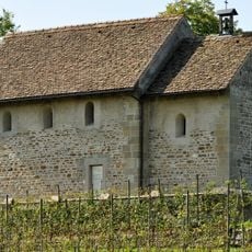
St. Martin Chapel
4 km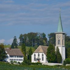
Reformed church with rectory
3.4 km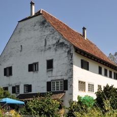
Ritterhäuser Uerikon
2.3 km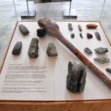
Rapperswil-Jona/Hombrechtikon–Feldbach
3.4 km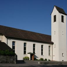
Verena Stäfa
3.6 km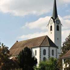
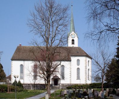
Reformed church
473 m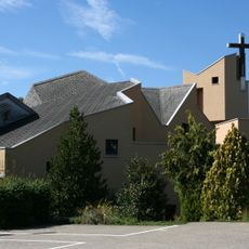
Kirche Franziskus Kempraten
3.9 km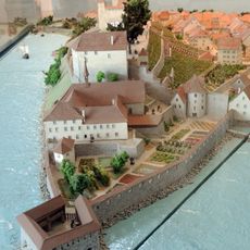
Endingerhorn
4.3 km
Museum zur Farb
3.2 km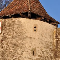
Endingerturm
4.4 km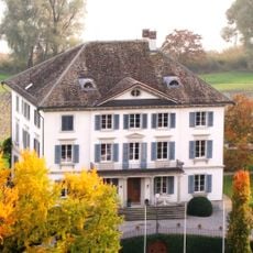
Rosenberg country estate
1.9 km
Villa Sunneschy
3.4 km
Parish church of St. Peter and Paul and St. Martin's chapel
4 km
Tüfelsobertili, rampart
2.6 km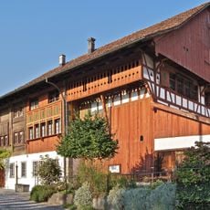
Haus zur Farb
3.2 km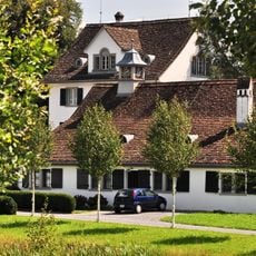
Hof Oberhaus
2 km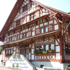
Eglihaus
540 m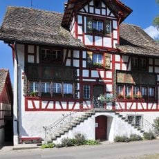
Menzihaus
794 m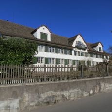
Mies
2.9 km
Tumulus group
2.2 km
Ehemaliger Badgasthof zur Krone
3.8 km
Hürlimannhaus Lützelsee
832 mVisited this place? Tap the stars to rate it and share your experience / photos with the community! Try now! You can cancel it anytime.
Discover hidden gems everywhere you go!
From secret cafés to breathtaking viewpoints, skip the crowded tourist spots and find places that match your style. Our app makes it easy with voice search, smart filtering, route optimization, and insider tips from travelers worldwide. Download now for the complete mobile experience.

A unique approach to discovering new places❞
— Le Figaro
All the places worth exploring❞
— France Info
A tailor-made excursion in just a few clicks❞
— 20 Minutes