Laufenburg, municipality in the canton Aargau, Switzerland
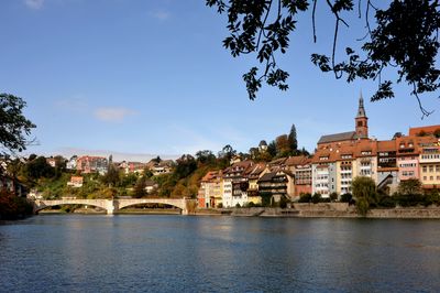
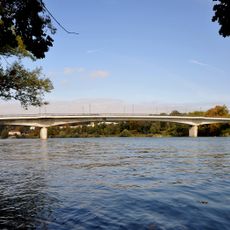
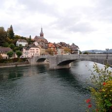
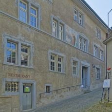
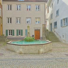
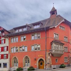
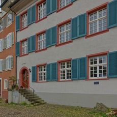
Laufenburg is a small border town between Switzerland and Germany featuring narrow streets lined with old houses from various periods. The Laufen River flows through it, crossed by several historic bridges that connect different parts of the town.
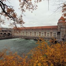
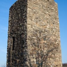
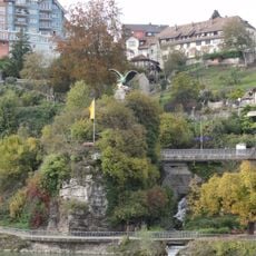
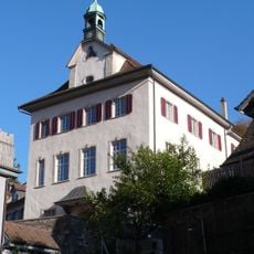
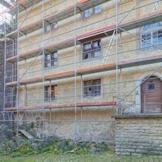
The town developed at a key trading route along the river and served for centuries as a transfer point for goods between regions. The surviving city walls and towers reflect times when the settlement needed to defend itself.
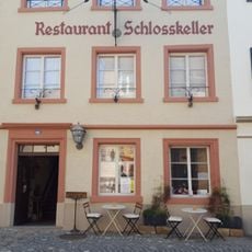
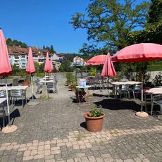
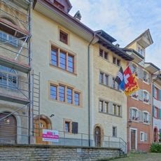
The town takes its name from the Laufen River that shapes it, and its border location blends Swiss and German cultural elements throughout daily life. Cafes, shops, and local festivals in its narrow streets show how residents and visitors experience the place today.
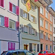
The town is walkable with most sights within a few minutes on foot across its compact layout. Small inns and guesthouses provide lodging, while boats cross the river to connect to the German side.
The Old Rhine Bridge, the famous stone structure, dates from centuries ago and has remained largely unchanged. It remains the most photographed spot in town today, linking both national sides in a way that reflects its founding era.
The community of curious travelers
AroundUs brings together thousands of curated places, local tips, and hidden gems, enriched daily by 60,000 contributors worldwide.