
Unteres Bürgli, part of the late Roman Rhine fortifications
Unteres Bürgli, part of the late Roman Rhine fortifications, archaeological site in Schwaderloch in the canton of Aargau, Switzerland
Location: Schwaderloch
Part of: list of cultural properties in Schwaderloch
Address: Mühlematt, 5326 Schwaderloch 5326 5326
GPS coordinates: 47.58308,8.13915
Latest update: May 20, 2025 14:22
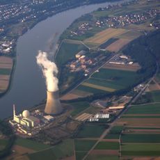
Leibstadt Nuclear Power Plant
3.9 km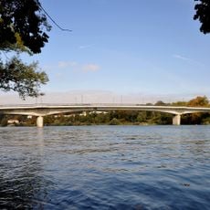
Hochrheinbrücke Laufenburg
5.4 km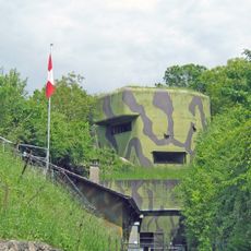
Reuenthal Fortress museum
5.3 km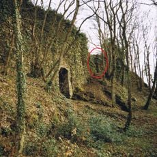
Burg Hauenstein
2.5 km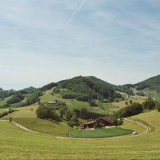
Aargau Jura Park
5.5 km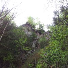
Burg Tiefenstein
6.2 km
Bernau Castle
2.8 km
Rheinbrücke Albbruck–Schwaderloch
675 m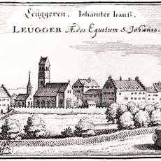
Johanniterkommende Leuggern
5.9 km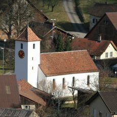
Reformed church
5.4 km
Schneeglöckchenstandort auf Gemarkung Buch, Landkreis Waldshut
3 km
Mühlbachtal
3.6 km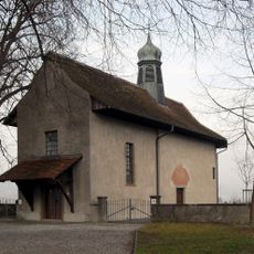
Loreto chapel
2.9 km
Birndorf
4.5 km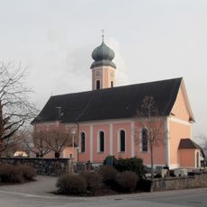
St. Clemens (Dogern)
3.5 km
Mandach
5.3 km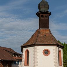
St. Wendelin chapel
2.7 km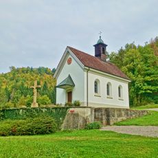
Niklaus chapel
5.3 km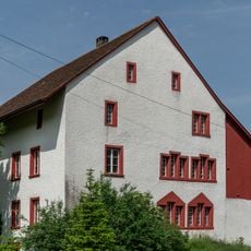
"im Spittel" house
4.3 km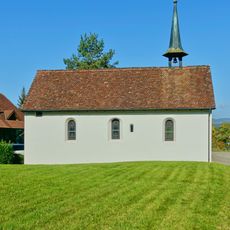
Margaretha chapel
4.8 km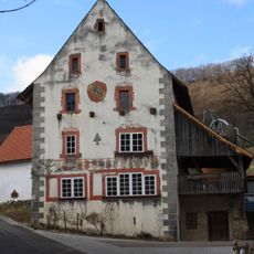
Former Untervogtei with outbuildings
4.3 km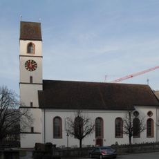
Catholic parish church
2.3 km
Stubenberg-Estelberg
5.7 km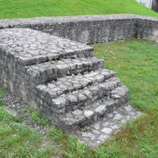
Rheinsulz, part of the late Roman Rhine fortifications
4.8 km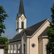
Kirche Gansingen
4.4 km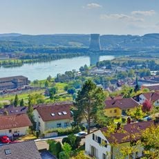
Haspel
5.7 km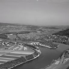
"Untere Auinsel"
376 m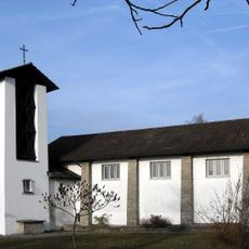
Bruderklausen chapel
2.7 kmReviews
Visited this place? Tap the stars to rate it and share your experience / photos with the community! Try now! You can cancel it anytime.
Discover hidden gems everywhere you go!
From secret cafés to breathtaking viewpoints, skip the crowded tourist spots and find places that match your style. Our app makes it easy with voice search, smart filtering, route optimization, and insider tips from travelers worldwide. Download now for the complete mobile experience.

A unique approach to discovering new places❞
— Le Figaro
All the places worth exploring❞
— France Info
A tailor-made excursion in just a few clicks❞
— 20 Minutes