Enable Location

We need your location to show you interesting places around you

Discover nearby places

Find interesting locations and hidden gems around you

Precise directions

Get accurate directions and distances to places

Your location is never shared with other users. It's only used when you tap the location button.

Dolores

Log in to your account

Start exploring — it's free

Trusted by 63,732 travelers worldwide

Continue with Google
Continue with Apple
or

We will send you a code to connect

By continuing, you accept our Terms and Conditions and our Privacy Policy

Check your inbox

We've sent a pincode in your inbox. Please enter the code below.

Discussion Reviews 1 Photos
19.4k Popularity

Dolores, town in Montezuma County, Colorado, United States

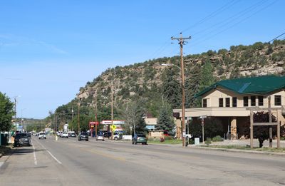
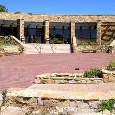
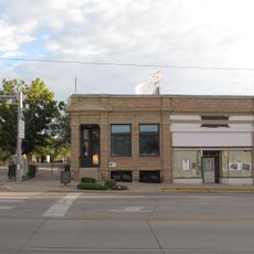
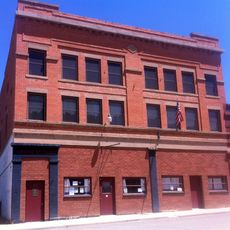
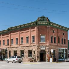
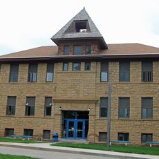
Dolores is a small town in Montezuma County in southwestern Colorado, located near the Dolores River and surrounded by red rock formations and green hills. The downtown area features simple historic buildings including shops, a cafe, and a park where an old train car sits as a reminder of the railroad era.

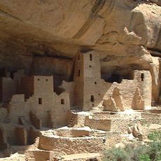
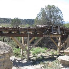
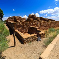
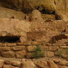
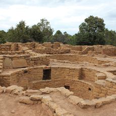
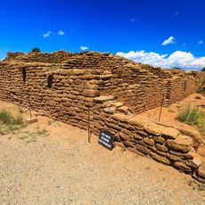
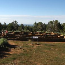
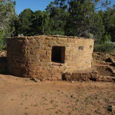
The area was home to ancestral Puebloans until around 1300, then Ute tribes arrived. European explorers came in 1859, cattlemen settled in 1876, and the 1891 railroad construction led to the founding of Dolores town, named after the nearby river.

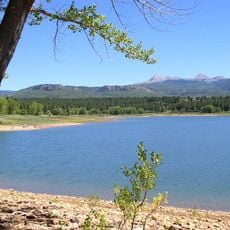
The town's name comes from the Dolores River, which Spanish priests named in 1776 as the 'River of Our Lady of Sorrows.' Today residents and visitors still depend on the river for recreation and fishing, showing how this waterway remains central to how people spend their time here.

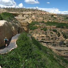
The town sits high in the mountains with fresh, cool air and is near lakes and trails that are easy to access. Visitors should check ahead for seasonal activities, as conditions and options change throughout the year, particularly for water and mountain sports.

During the 1930s economic crisis, oddly-shaped hybrid trains called the Galloping Goose were built to keep the railroad running, waddling down the tracks like their namesake. One of these unusual vehicles is still displayed in Dolores today, a reminder of creative problem-solving during hard times.

The community of curious travelers

AroundUs brings together thousands of curated places, local tips, and hidden gems, enriched daily by 60,000 contributors worldwide.

Start exploring
Location
Elevation above the sea
2,114 m
GPS coordinates
37.47440,-108.49800
Latest update
February 16, 2026 22:40
Around this place
Mesa Verde National Park
United States of America

Mesa Verde National Park

25 km
McPhee Reservoir
United States of America

McPhee Reservoir

13.2 km
Mancos State Park
United States of America

Mancos State Park

21.8 km
Anasazi Heritage Center
United States of America

Anasazi Heritage Center

4.2 km
Canyons of the Ancients Visitor Center and Museum
United States of America

Canyons of the Ancients Visitor Center and Museum

4.2 km
Wrightsman House
United States of America

Wrightsman House

23.3 km
Old Cortez High School
United States of America

Old Cortez High School

16 km
Montezuma Valley Irrigation Company Flume No. 6
United States of America

Montezuma Valley Irrigation Company Flume No. 6

14.1 km
Montezuma Valley National Bank and Store Building
United States of America

Montezuma Valley National Bank and Store Building

16 km
Mancos Theatre
United States of America

Mancos Theatre

23.4 km
Bauer Bank Block
United States of America

Bauer Bank Block

23.4 km
Mancos High School
United States of America

Mancos High School

23.2 km
Far View Reservoir
United States of America

Far View Reservoir

26 km
Megalithic House
United States of America

Megalithic House

25.9 km
Knife Edge Trail
United States of America

Knife Edge Trail

19.7 km
Far View House
United States of America

Far View House

26.3 km
Step House
United States of America

Step House

31.1 km
Coyote Village
United States of America

Coyote Village

26.4 km
Far View Sites Complex
United States of America

Far View Sites Complex

26.4 km
Pipe Shrine House
United States of America

Pipe Shrine House

26.4 km
Far View Tower
United States of America

Far View Tower

26.2 km
Far View Visitor Center
United States of America

Far View Visitor Center

24.1 km
Park Point Lookout
United States of America

Park Point Lookout

21.8 km
Step House Trail
United States of America

Step House Trail

31 km
Mesa Verde Visitor and Research Center
United States of America

Mesa Verde Visitor and Research Center

17.4 km
Colorado Welcome Center at Cortez
United States of America

Colorado Welcome Center at Cortez

15.4 km
Montezuma Valley Overlook
United States of America

Montezuma Valley Overlook

20.4 km
Mesa Verde National Park Entrance Station
United States of America

Mesa Verde National Park Entrance Station

17.5 km
Show the full map
Reviews
Share your experience

No review yet

Discussions
Start a discussion...

No discussion yet

« Dolores - town in Montezuma County, Colorado, United States » is provided by Around Us (aroundus.com). Images and texts are derived from Wikimedia project under a Creative Commons license. You are allowed to copy, distribute, and modify copies of this page, under the conditions set by the license, as long as this note is clearly visible.

Discover hidden gems everywhere you go!

From secret cafés to breathtaking viewpoints, skip the crowded tourist spots and find places that match your style. Our app makes it easy with voice search, smart filtering, route optimization, and insider tips from travelers worldwide. Download now for the complete mobile experience.

Around Us App Screenshot

A unique approach to discovering new places

Le Figaro

All the places worth exploring

France Info

A tailor-made excursion in just a few clicks

20 Minutes

Around Us
Travel Guide & Maps
Download

Send to your phone

QR Code
1

Open the camera app on your mobile.

2

Point at the QR code with your camera. A notification will appear.

3

Tap the notification to open the link.