Chest opened
+${chestReward.xp} XP
Explorer
NOUVEAU ×${chestReward.collectible.quantity}
tapez pour fermer

See the monuments around you in AR Open chests in the app

Around Us is built for your phone — point your camera at the streets and discover the monuments and places around you in augmented reality. Around Us is built for your phone — chests unlock when you walk, explore and capture nearby places.

Enable Location

We need your location to show you interesting places around you

Discover nearby places

Find interesting locations and hidden gems around you

Precise directions

Get accurate directions and distances to places

Your location is never shared with other users. It's only used when you tap the location button.

Santa Rosa

Log in to your account

Start exploring — it's free

Trusted by 86,284 travelers worldwide

Continue with Google
Continue with Apple
or

We will send you a code to connect

By continuing, you accept our Terms and Conditions and our Privacy Policy

Check your inbox

We've sent a pincode in your inbox. Please enter the code below.

Discussion Reviews 2 Photos
32.7k Popularity

Santa Rosa, County seat in Guadalupe County, New Mexico, United States

Santa Rosa is a town in eastern New Mexico along Route 66, situated at an elevation of about 1,400 meters (4,600 feet). It features several parks and recreation areas that offer outdoor activities for both visitors and residents.

The town emerged as a vital transportation hub during the construction of the Southern Pacific Railroad through New Mexico in the early 1900s. This growth period established its role as a stopping point for rail and later road travelers.

The Main Street displays territorial architecture from different periods, shaping the visual character of the place today. This mix of building styles tells visitors about the different phases when the town grew and changed.

The town has solid infrastructure with public services that help visitors with orientation and access. It is best to explore during daytime hours when most facilities are open and the town is active.

Natural limestone sinkholes in the area create deep water pools that serve as swimming spots. These geological features formed through erosion of limestone layers and create an unexpected oasis in this desert region.

The community of curious travelers

AroundUs brings together thousands of curated places, local tips, and hidden gems, enriched daily by 60,000 contributors worldwide.
Start exploring
Location
Elevation above the sea
1,407 m
GPS coordinates
34.93063,-104.67214
Latest update
September 12, 2026 03:01
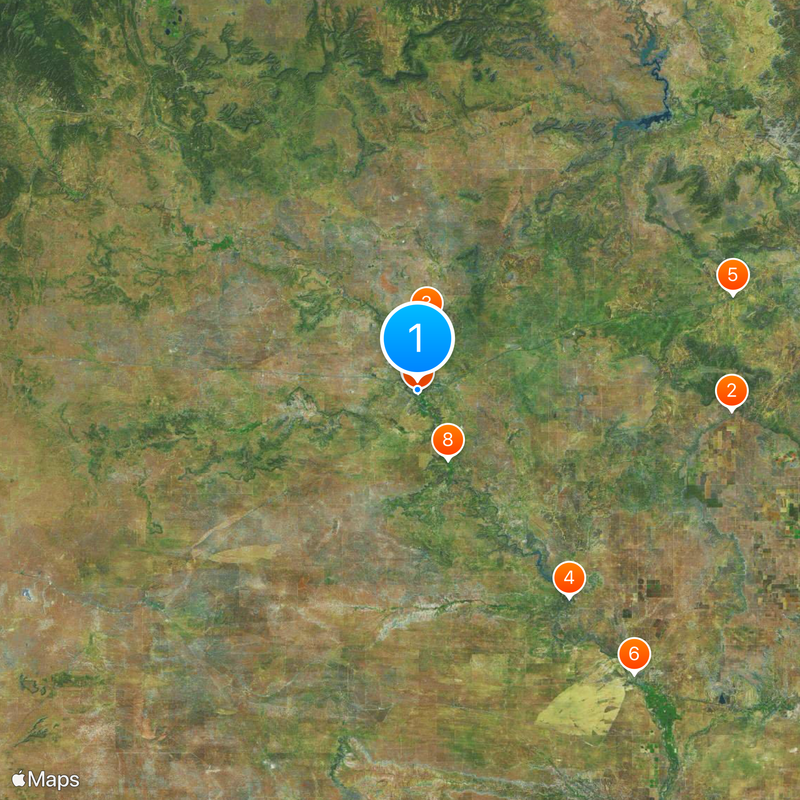
Around this place
United States of America

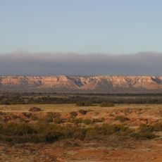
Caprock Escarpment

34.2 mi
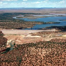
Santa Rosa Lake State Park
United States of America

Santa Rosa Lake State Park

8.3 mi
Sumner Lake State Park
United States of America

Sumner Lake State Park

27.6 mi
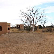
Richardson Store
United States of America

Richardson Store

36.2 mi
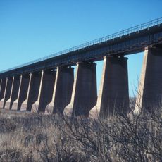
Fort Sumner Railroad Bridge
United States of America

Fort Sumner Railroad Bridge

38.8 mi
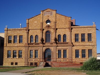
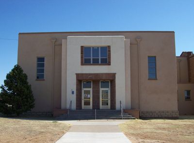
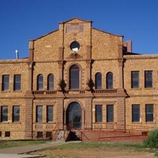
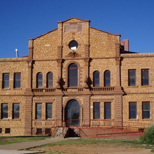
Guadalupe County Courthouse in Santa Rosa
United States of America

Guadalupe County Courthouse in Santa Rosa

1.1 mi
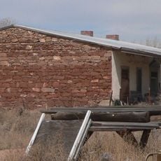
Alexander Grzelachowski House and Store
United States of America

Alexander Grzelachowski House and Store

7.4 mi
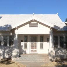
J. Julian Moise House
United States of America

J. Julian Moise House

0.9 mi
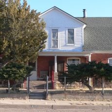
Jesus M. Casaus House
United States of America

Jesus M. Casaus House

0.6 mi
Park Lake Historic District
United States of America

Park Lake Historic District

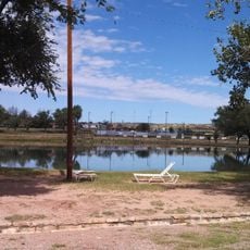
0.8 mi
Fort Sumner Community House
United States of America

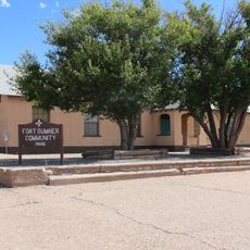
Fort Sumner Community House

39.6 mi
United States of America

Red Lake

30 mi
United States of America

Harben Lake

15.2 mi
United States of America

Bales Lake

39.7 mi
United States of America

Sumner

26.5 mi
United States of America

Casas del Medio

16.6 mi
United States of America

Pacheco Bluff

34.4 mi
Variadero Bridge
United States of America

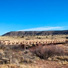
Variadero Bridge

33.9 mi
United States of America

Jesus M Casaus House Historic Site

0.8 mi
United States of America

Grzelachowski House Historic Site

7.6 mi
United States of America

Santa Rosa Golf Course

2.1 mi
United States of America

Guadalupe Courthouse Historic Site

0.8 mi
United States of America

Joseph's Restaurant since 1956

1.1 mi
Cowgirl by fence at Billy the Kid F.O.E.
United States of America

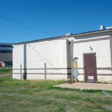
Cowgirl by fence at Billy the Kid F.O.E.

39.7 mi
Cowboy and dog next to fence at Billy the Kid F.O.E.
United States of America

Cowboy and dog next to fence at Billy the Kid F.O.E.

39.6 mi
United States of America

Statue, Work of art

1.1 mi
United States of America

Scenic viewpoint

32.9 mi
United States of America

Waterfall

30.1 mi
Show the full map
Reviews
Share your experience

No review yet

Discussions
Start a discussion...

No discussion yet

« Santa Rosa - County seat in Guadalupe County, New Mexico, United States » is provided by Around Us (aroundus.com). Images and texts are derived from Wikimedia project under a Creative Commons license. You are allowed to copy, distribute, and modify copies of this page, under the conditions set by the license, as long as this note is clearly visible.

Discover hidden gems everywhere you go!

From secret cafés to breathtaking viewpoints, skip the crowded tourist spots and find places that match your style. Our app makes it easy with voice search, smart filtering, route optimization, and insider tips from travelers worldwide. Download now for the complete mobile experience.

Around Us App Screenshot

A unique approach to discovering new places

Le Figaro

All the places worth exploring

France Info

A tailor-made excursion in just a few clicks

20 Minutes

Around Us
Travel Guide & Maps
Download

Send to your phone

QR Code
1

Open the camera app on your mobile.

2

Point at the QR code with your camera. A notification will appear.

3

Tap the notification to open the link.