Chest opened
+${chestReward.xp} XP
Explorer
NOUVEAU ×${chestReward.collectible.quantity}
tapez pour fermer

See the monuments around you in AR Open chests in the app

Around Us is built for your phone — point your camera at the streets and discover the monuments and places around you in augmented reality. Around Us is built for your phone — chests unlock when you walk, explore and capture nearby places.

Enable Location

We need your location to show you interesting places around you

Discover nearby places

Find interesting locations and hidden gems around you

Precise directions

Get accurate directions and distances to places

Your location is never shared with other users. It's only used when you tap the location button.

Richardson Store

Log in to your account

Start exploring — it's free

Trusted by 84,954 travelers worldwide

Continue with Google
Continue with Apple
or

We will send you a code to connect

By continuing, you accept our Terms and Conditions and our Privacy Policy

Check your inbox

We've sent a pincode in your inbox. Please enter the code below.

Discussion Reviews 1 Photos
1.2k Popularity

Richardson Store, Commercial building in Montoya, New Mexico

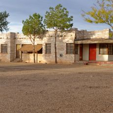
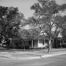
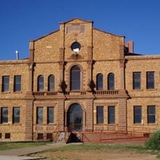
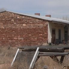
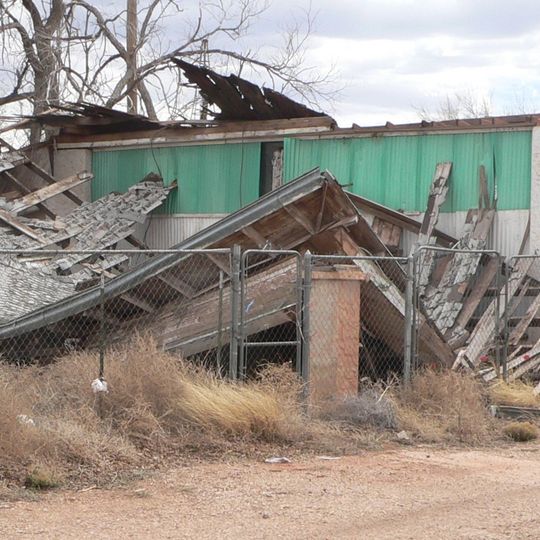
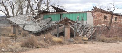
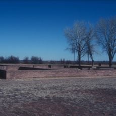
Richardson Store is a commercial building constructed of red sandstone with early 20th century architectural features in Montoya, New Mexico. The structure displays characteristic design elements typical of the period's trading establishments.

G.W. Richardson established the store in a wooden building in 1908 before moving it to the current red sandstone structure in 1918. This relocation marked an expansion of the commercial operation during the region's growth period.

The store served as a gathering place where travelers and locals met along Route 66, making it a social hub where people stopped for supplies and community connection.

The building is accessible from Interstate 40 via the Montoya exit and can be viewed from the road. The location sits well for those exploring Route 66 history in the area.

The building witnessed three major transportation shifts: before Route 66, during the Mother Road era, and through the early Interstate period. This spans different ways Americans traveled and connected across the region.

The community of curious travelers

AroundUs brings together thousands of curated places, local tips, and hidden gems, enriched daily by 60,000 contributors worldwide.
Start exploring
Location
GPS coordinates
35.09530,-104.06500
Latest update
August 30, 2026 18:42
Around this place
Fort Sumner
United States of America

Fort Sumner

48.5 mi
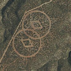
Trementina Base
United States of America

Trementina Base

41.2 mi
United States of America

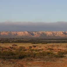
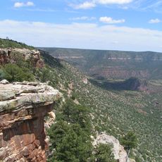
Caprock Escarpment

12.8 mi
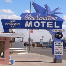
Blue Swallow Motel
United States of America

Blue Swallow Motel

20.4 mi
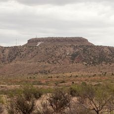
Tucumcari Mountain
United States of America

Tucumcari Mountain

20.9 mi
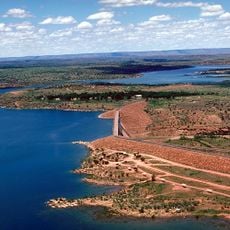
Conchas Lake
United States of America

Conchas Lake

21.8 mi
Sabinoso Wilderness
United States of America

Sabinoso Wilderness

45.6 mi
Santa Rosa Lake State Park
United States of America

Santa Rosa Lake State Park

34.2 mi
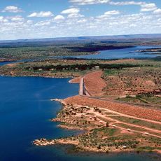
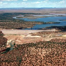
Conchas Dam
United States of America

Conchas Dam

22.4 mi
Cactus Motor Lodge
United States of America

Cactus Motor Lodge

20.7 mi
Metropolitan Park Bathhouse and Pool Historic District
United States of America

Metropolitan Park Bathhouse and Pool Historic District

15.3 mi
Odeon Theatre
United States of America

Odeon Theatre

20 mi
Nara Visa School
United States of America

Nara Visa School

65.3 mi
Baca-Goodman House
United States of America

Baca-Goodman House

19.9 mi
De Baca County Courthouse
United States of America

De Baca County Courthouse

44.3 mi
Arch Hurley Conservancy District Office Building
United States of America

Arch Hurley Conservancy District Office Building

20 mi
Fort Sumner Railroad Bridge
United States of America

Fort Sumner Railroad Bridge

43.6 mi
Guadalupe County Courthouse in Santa Rosa
United States of America

Guadalupe County Courthouse in Santa Rosa

36.8 mi
Alexander Grzelachowski House and Store
United States of America

Alexander Grzelachowski House and Store

36.6 mi
J. Julian Moise House
United States of America

J. Julian Moise House

36.7 mi
Jesus M. Casaus House
United States of America

Jesus M. Casaus House

36.6 mi
Park Lake Historic District
United States of America

Park Lake Historic District

36.3 mi
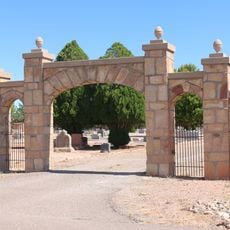
Fort Sumner Cemetery Wall and Entry
United States of America

Fort Sumner Cemetery Wall and Entry

43.7 mi
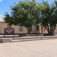
Fort Sumner Community House
United States of America

Fort Sumner Community House

43.9 mi
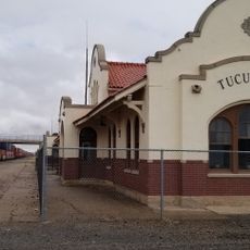
Tucumcari Railroad Museum
United States of America

Tucumcari Railroad Museum

20 mi
Princess Theatre
United States of America

Princess Theatre

20.5 mi
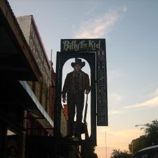
Billy The Kid Museum
United States of America

Billy The Kid Museum

44.5 mi
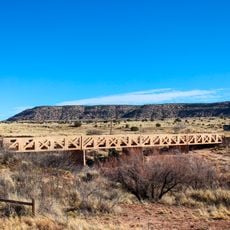
Variadero Bridge
United States of America

Variadero Bridge

30.2 mi
Show the full map
Reviews
Share your experience

No review yet

Discussions
Start a discussion...

No discussion yet

« Richardson Store - Commercial building in Montoya, New Mexico » is provided by Around Us (aroundus.com). Images and texts are derived from Wikimedia project under a Creative Commons license. You are allowed to copy, distribute, and modify copies of this page, under the conditions set by the license, as long as this note is clearly visible.

Discover hidden gems everywhere you go!

From secret cafés to breathtaking viewpoints, skip the crowded tourist spots and find places that match your style. Our app makes it easy with voice search, smart filtering, route optimization, and insider tips from travelers worldwide. Download now for the complete mobile experience.
Around Us App Screenshot

A unique approach to discovering new places

Le Figaro

All the places worth exploring

France Info

A tailor-made excursion in just a few clicks

20 Minutes

Around Us
Travel Guide & Maps
Download

Send to your phone

QR Code
1

Open the camera app on your mobile.

2

Point at the QR code with your camera. A notification will appear.

3

Tap the notification to open the link.