
Española Valley Historical Marker, park in Rio Arriba County, New Mexico, United States
Location: Rio Arriba County
GPS coordinates: 35.99074,-106.08104
Latest update: March 23, 2025 08:29
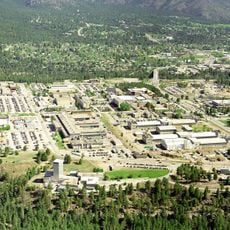
Los Alamos National Laboratory
25.4 km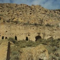
Puye Cliff Dwellings
13.3 km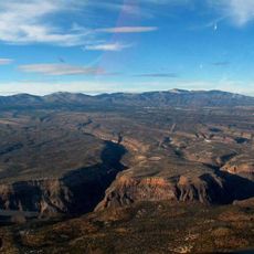
Pajarito Plateau
25.2 km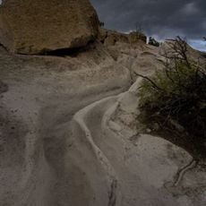
Tsankawi
18.7 km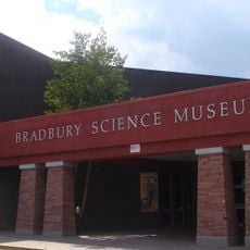
Bradbury Science Museum
23.1 km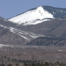
Chicoma Mountain
27.4 km
Poeh Museum
13.6 km
San Gabriel de Yungue-Ouinge
7.4 km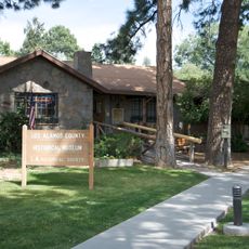
Los Alamos Historical Museum
23.3 km
Otowi Historic District
14 km
Mesa Public Library
23.4 km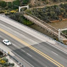
Otowi Suspension Bridge
14 km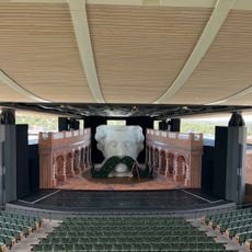
Santa Fe Opera
28 km
Tsama Pueblo
25.8 km
Ancha Formation
19.6 km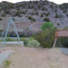
Embudo Stream Gauging Station
26.1 km
Poeh Center
13.6 km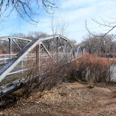
Rio Grande Bridge at San Juan Pueblo
7.3 km
Frank Bond House
138 m
Chimayo Trading Post and E.D. Trujillo House
1.2 km
Classical Gas Museum
26.9 km
Tsankawi Prehistoric Sites
19.5 km
Crosby Theatre
28 km
Los Alamos VLBA station
28.2 km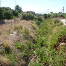
Arroyo de la Cañada Ancha
12.5 km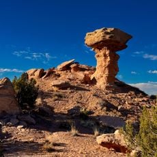
Camel Rock
20.6 km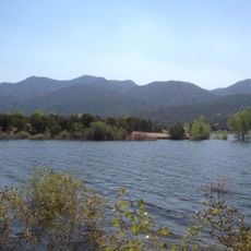
Nambe Falls Reservoir
22.6 km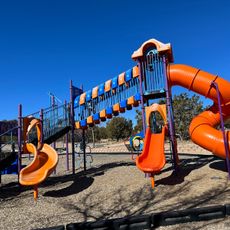
Piñon Park Splash Pad
21.9 kmReviews
Visited this place? Tap the stars to rate it and share your experience / photos with the community! Try now! You can cancel it anytime.
Discover hidden gems everywhere you go!
From secret cafés to breathtaking viewpoints, skip the crowded tourist spots and find places that match your style. Our app makes it easy with voice search, smart filtering, route optimization, and insider tips from travelers worldwide. Download now for the complete mobile experience.

A unique approach to discovering new places❞
— Le Figaro
All the places worth exploring❞
— France Info
A tailor-made excursion in just a few clicks❞
— 20 Minutes