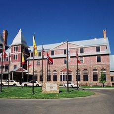
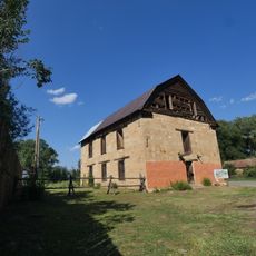
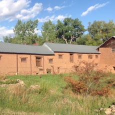
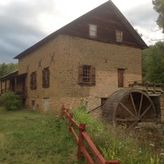
Coyote Creek State Park, State park in Mora County, New Mexico.
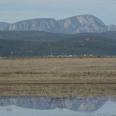
Coyote Creek State Park is a mountain reserve where a creek flows through pine and oak forests in the Sangre de Cristo range at about 7,600 feet of elevation. The park offers walking paths, fishing opportunities, and quiet forest scenery for visitors to explore.
The area became a protected state park in 1969, preserving the natural resources and recreational opportunities of this mountain region. This designation helped shield the fragile forest ecosystems at high elevation from more intensive uses.
The creek has long drawn anglers who practice traditional fly fishing in these waters, a pastime deeply rooted in the region's outdoor culture. Local visitors come here to connect with the natural landscape and enjoy the rhythms of mountain life.
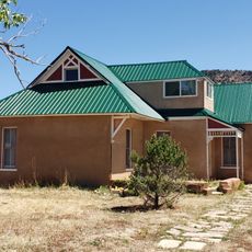
The park has 12 camping sites, with 10 offering water and electric connections, plus restroom facilities and shower houses for visitors. The trails and creek areas are easiest to access during warmer months when snow is not blocking the paths.
The park sits at such high elevation that temperatures stay noticeably cooler than surrounding lowlands, creating conditions where specific mountain plants and animals thrive. These cooler conditions allow wildflowers and forest species to flourish that would not normally survive at lower altitudes nearby.
The community of curious travelers
AroundUs brings together thousands of curated places, local tips, and hidden gems, enriched daily by 60,000 contributors worldwide.