Enable Location

We need your location to show you interesting places around you

Discover nearby places

Find interesting locations and hidden gems around you

Precise directions

Get accurate directions and distances to places

Your location is never shared with other users. It's only used when you tap the location button.

Antero Reservoir

Log in to your account

Start exploring — it's free

Trusted by 62,226 travelers worldwide

Continue with Google
Continue with Apple
or

We will send you a code to connect

By continuing, you accept our Terms and Conditions and our Privacy Policy

Check your inbox

We've sent a pincode in your inbox. Please enter the code below.

Antero Reservoir

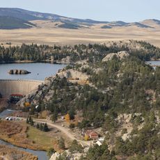
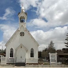
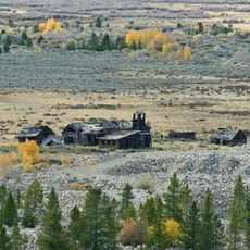
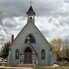
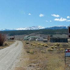
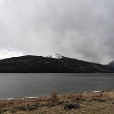
Antero Reservoir, body of water

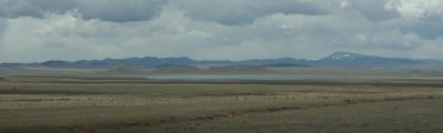
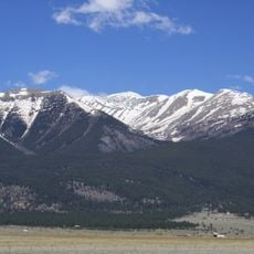
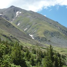
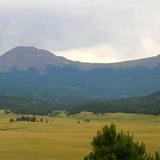
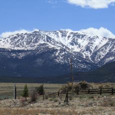
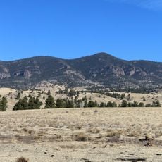
Antero Reservoir is a large lake in Colorado set in open terrain with rolling hills and views toward nearby forests. The water covers about 2,500 acres (1,010 hectares), is relatively shallow, and stays warmer than other lakes at its elevation of nearly 9,000 feet (2,743 meters), making it usable for fishing and boating throughout the year.

The dam was built in 1909 and is operated by Denver Water under management by the Colorado Division of Wildlife. Its construction marked an important milestone in regional water management and has shaped how the landscape is used today.

The name comes from the Spanish word "Antero," meaning "first," as it is the first dam upstream from the Continental Divide on the Middle Fork of the South Platte River. Visitors here engage in long-standing traditions of fishing and hunting that shape how people connect with this landscape.

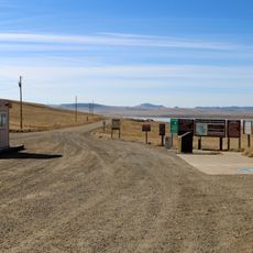
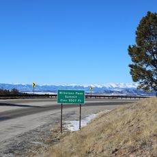
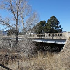
The site is easily reached via nearby Highway 24 and sits about twenty minutes by car from the small town of Hartsel, where visitors can find supplies and lodging. The area is open year-round, but visitors 16 and older need a valid fishing or hunting license, and some activities are limited to specific seasons.

The water remains unusually warm at this elevation of nearly 9,000 feet, largely because the lake is shallow, allowing the sun to heat the bottom more easily. This feature makes it a preferred spot for winter anglers and allows for ice fishing when the surface freezes.

The community of curious travelers

AroundUs brings together thousands of curated places, local tips, and hidden gems, enriched daily by 60,000 contributors worldwide.

Start exploring
Location
GPS coordinates
38.98830,-105.89600
Latest update
February 7, 2026 11:01
Around this place
Show the full map
« Antero Reservoir - body of water » is provided by Around Us (aroundus.com). Images and texts are derived from Wikimedia project under a Creative Commons license. You are allowed to copy, distribute, and modify copies of this page, under the conditions set by the license, as long as this note is clearly visible.

Discover hidden gems everywhere you go!

From secret cafés to breathtaking viewpoints, skip the crowded tourist spots and find places that match your style. Our app makes it easy with voice search, smart filtering, route optimization, and insider tips from travelers worldwide. Download now for the complete mobile experience.

Around Us App Screenshot

A unique approach to discovering new places

Le Figaro

All the places worth exploring

France Info

A tailor-made excursion in just a few clicks

20 Minutes

Around Us
Travel Guide & Maps
Download

Send to your phone

QR Code
1

Open the camera app on your mobile.

2

Point at the QR code with your camera. A notification will appear.

3

Tap the notification to open the link.