Enable Location

We need your location to show you interesting places around you

Discover nearby places

Find interesting locations and hidden gems around you

Precise directions

Get accurate directions and distances to places

Your location is never shared with other users. It's only used when you tap the location button.

Dyer Mountain

Log in to your account

Start exploring — it's free

Trusted by 63,014 travelers worldwide

Continue with Google
Continue with Apple
or

We will send you a code to connect

By continuing, you accept our Terms and Conditions and our Privacy Policy

Check your inbox

We've sent a pincode in your inbox. Please enter the code below.

Dyer Mountain
Discussion Reviews 1 Photos
1.5k Popularity

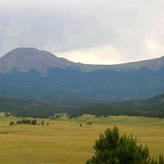
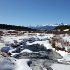
Dyer Mountain, Mountain summit in Mosquito Range, Colorado

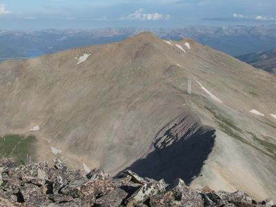
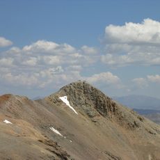
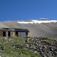
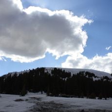
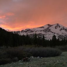
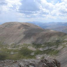
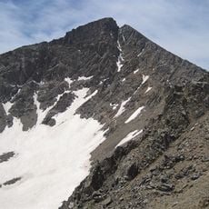
Dyer Mountain is a peak in the Mosquito Range located in Colorado, rising to about 13,862 feet with steep rocky slopes and exposed ridgelines on its northwest approach. The terrain features loose stone and narrow passages that define much of the climbing route.

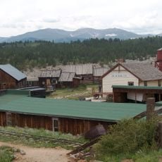
The peak was named after John Lewis Dyer, a frontier preacher who traveled through Colorado's high mountain passes during the 1800s serving mining communities. His work among the mountainous mining regions made him a well-known figure in that era.

Local mountaineering groups maintain detailed route logs and climbing records, documenting hundreds of successful ascents through different seasonal conditions.

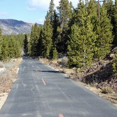
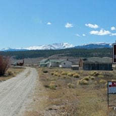
Most visitors start their climb from the established Kite Lake trailhead where parking is available and the initial trail is clearly marked. Acclimatizing to the altitude beforehand helps prepare your body for the physical demands of the elevation gain.

The summit sits on the boundary line between Lake and Park County, marking a natural boundary in the high country. This location made it a useful reference point for early surveyors and explorers working in the region.

The community of curious travelers

AroundUs brings together thousands of curated places, local tips, and hidden gems, enriched daily by 60,000 contributors worldwide.

Start exploring
Location
GPS coordinates
39.23985,-106.18329
Latest update
December 14, 2025 15:01
Reviews
Share your experience

No review yet

Discussions
Start a discussion...

No discussion yet

« Dyer Mountain - Mountain summit in Mosquito Range, Colorado » is provided by Around Us (aroundus.com). Images and texts are derived from Wikimedia project under a Creative Commons license. You are allowed to copy, distribute, and modify copies of this page, under the conditions set by the license, as long as this note is clearly visible.

Discover hidden gems everywhere you go!

From secret cafés to breathtaking viewpoints, skip the crowded tourist spots and find places that match your style. Our app makes it easy with voice search, smart filtering, route optimization, and insider tips from travelers worldwide. Download now for the complete mobile experience.

Around Us App Screenshot

A unique approach to discovering new places

Le Figaro

All the places worth exploring

France Info

A tailor-made excursion in just a few clicks

20 Minutes

Around Us
Travel Guide & Maps
Download

Send to your phone

QR Code
1

Open the camera app on your mobile.

2

Point at the QR code with your camera. A notification will appear.

3

Tap the notification to open the link.