Chest opened
+${chestReward.xp} XP
Explorer
NOUVEAU ×${chestReward.collectible.quantity}
tapez pour fermer

See the monuments around you in AR Open chests in the app

Around Us is built for your phone — point your camera at the streets and discover the monuments and places around you in augmented reality. Around Us is built for your phone — chests unlock when you walk, explore and capture nearby places.

Enable Location

We need your location to show you interesting places around you

Discover nearby places

Find interesting locations and hidden gems around you

Precise directions

Get accurate directions and distances to places

Your location is never shared with other users. It's only used when you tap the location button.

Log in to your account

Start exploring — it's free

Trusted by 86,279 travelers worldwide

Continue with Google
Continue with Apple
or

We will send you a code to connect

By continuing, you accept our Terms and Conditions and our Privacy Policy

Check your inbox

We've sent a pincode in your inbox. Please enter the code below.

U.S. Route 95
Discussion Reviews Photo
34.8k Popularity

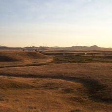
U.S. Route 95, 1,561-mile highway through Arizona, California, Nevada, Oregon and Idaho, United States

U.S. Route 95 is a major road spanning over 1,500 miles from the Mexican border at San Luis, Arizona to the Canadian border at Eastport, Idaho. It crosses desert valleys in the south, passes through Las Vegas, and climbs into mountainous terrain before reaching the northern border.

The road was established in 1926 as part of the original U.S. Numbered Highway System, with its southern extension into Arizona added during the 1940s. It was built to connect remote regions with the nation's main transportation corridors.

The road connects Las Vegas with remote mining communities across Nevada, serving as a vital link for residents to travel between urban centers and isolated settlements. It enables families to stay connected and supports local commerce in areas that would otherwise be cut off from main highways.

The road intersects with major Interstate highways including I-8 in Yuma, I-10 near Blythe, and I-15 in Las Vegas, offering alternative route options. Travelers should prepare for long stretches between gas stations, especially through desert sections where services are sparse.

Idaho transportation officials changed milepost 420 to 419.9 to prevent souvenir seekers from repeatedly stealing the sign. This unusual fix reveals the creative problems that maintain infrastructure across remote stretches.

The community of curious travelers

AroundUs brings together thousands of curated places, local tips, and hidden gems, enriched daily by 60,000 contributors worldwide.
Start exploring
Inception
1926
GPS coordinates
46.37725,-116.54480
Latest update
September 12, 2026 03:23
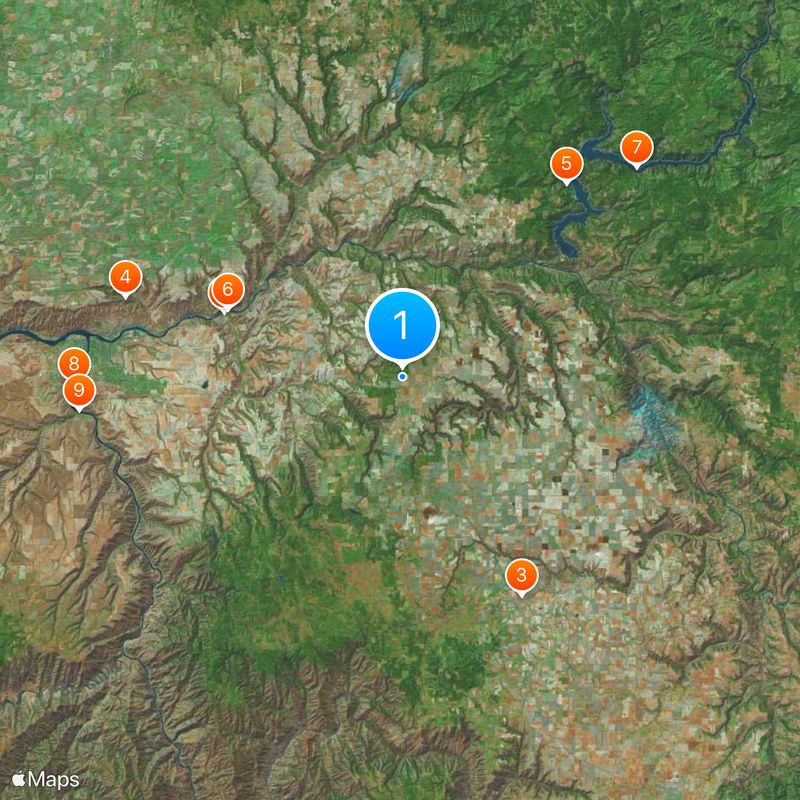
Around this place
Nez Perce National Historical Park
United States of America

Nez Perce National Historical Park

14.1 mi
United States of America

Nez Perce National Historic Trail

29 mi
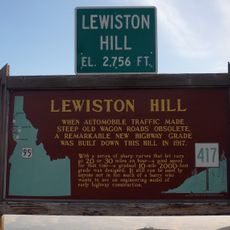
Lewiston Hill
United States of America

Lewiston Hill

21.5 mi
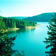
Dworshak State Park
United States of America

Dworshak State Park

18.9 mi
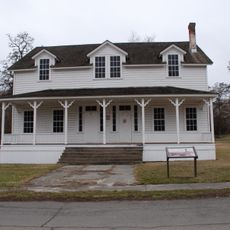
Fort Lapwai
United States of America

Fort Lapwai

13.9 mi
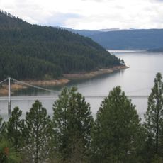
Dent Bridge
United States of America

Dent Bridge

23.4 mi
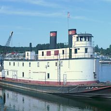
Sternwheeler Jean
United States of America

Sternwheeler Jean

24.4 mi
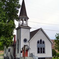
Full Gospel Church
United States of America

Full Gospel Church

24.2 mi
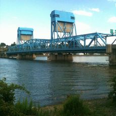
Interstate Highway Bridge
United States of America

Interstate Highway Bridge

23.6 mi
Bethany Memorial Chapel
United States of America

Bethany Memorial Chapel

20.2 mi
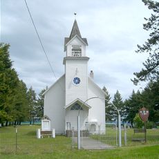
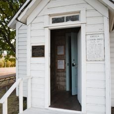
Cordelia Lutheran Church
United States of America

Cordelia Lutheran Church

25.8 mi
American Women's League Chapter House
United States of America

American Women's League Chapter House

9 mi
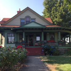
Gaylord Thompson House
United States of America

Gaylord Thompson House

22 mi
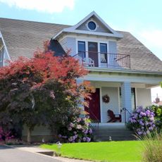
Thomas Kirby House
United States of America

Thomas Kirby House

17.1 mi
First Presbyterian Church
United States of America

First Presbyterian Church

12.4 mi
21 Ranchhouse
United States of America

21 Ranchhouse

18.3 mi
Nave Apartments
United States of America

Nave Apartments

22.9 mi
James Asposas House
United States of America

James Asposas House

22.2 mi
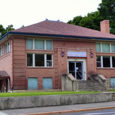
Clarkston Public Library
United States of America

Clarkston Public Library

24 mi
Orofino Historic District
United States of America

Orofino Historic District

15.5 mi
Frank Booth House
United States of America

Frank Booth House

22.2 mi
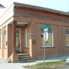
Genesee Exchange Bank
United States of America

Genesee Exchange Bank

21.8 mi
James V. and Sophia Baker House
United States of America

James V. and Sophia Baker House

24.6 mi
William and Elizabeth McLaren House
United States of America

William and Elizabeth McLaren House

22.2 mi
Kendrick Fraternal Temple
United States of America

Kendrick Fraternal Temple

17.1 mi
C. C. Van Arsdol House
United States of America

C. C. Van Arsdol House

25.1 mi
James F. Bridwell House
United States of America

James F. Bridwell House

26.8 mi
Agnes M. Tamblyn House
United States of America

Agnes M. Tamblyn House

22.3 mi
Show the full map
Reviews
Share your experience

No review yet

Discussions
Start a discussion...

No discussion yet

« U.S. Route 95 - 1,561-mile highway through Arizona, California, Nevada, Oregon and Idaho, United States » is provided by Around Us (aroundus.com). Images and texts are derived from Wikimedia project under a Creative Commons license. You are allowed to copy, distribute, and modify copies of this page, under the conditions set by the license, as long as this note is clearly visible.

Discover hidden gems everywhere you go!

From secret cafés to breathtaking viewpoints, skip the crowded tourist spots and find places that match your style. Our app makes it easy with voice search, smart filtering, route optimization, and insider tips from travelers worldwide. Download now for the complete mobile experience.
Around Us App Screenshot

A unique approach to discovering new places

Le Figaro

All the places worth exploring

France Info

A tailor-made excursion in just a few clicks

20 Minutes

Around Us
Travel Guide & Maps
Download

Send to your phone

QR Code
1

Open the camera app on your mobile.

2

Point at the QR code with your camera. A notification will appear.

3

Tap the notification to open the link.