
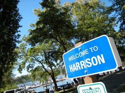
Harrison, city in Idaho, United States
Location: Kootenai County
Elevation above the sea: 672 m
GPS coordinates: 47.44970,-116.78100
Latest update: March 9, 2025 11:52
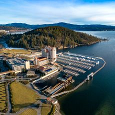
Coeur d'Alene Resort
24.8 km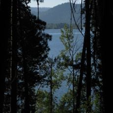
Heyburn State Park
10.8 km
Coeur d’Alene Casino
14.8 km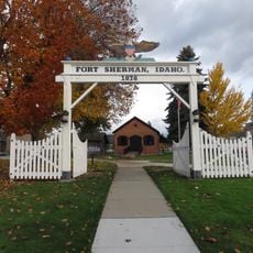
Fort Sherman
25.5 km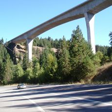
Veterans Memorial Centennial Bridge
22.6 km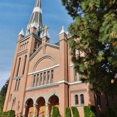
St. Thomas Catholic Church
25.2 km
Kootenai County Courthouse
25.3 km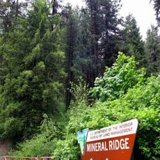
Mineral Ridge National Recreation Trail, Idaho
20.5 km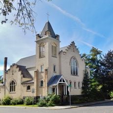
First United Methodist Church
25.2 km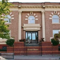
Coeur d'Alene Masonic Temple
25 km
Coeur d'Alene Federal Building
25 km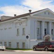
St. Maries Masonic Temple No. 63
21.9 km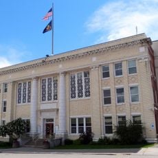
Benewah County Courthouse
22.1 km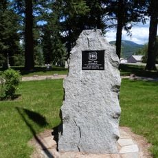
St. Maries 1910 Fire Memorial
20.9 km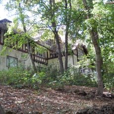
John P. and Stella Gray House
24.5 km
Silas W. and Elizabeth Crane House
382 m
Coeur d'Alene City Hall
24.9 km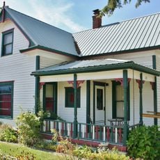
Samuel and Ann Young House
31.6 km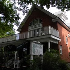
Harvey M. Davey House
25.3 km
Rocky Point CCC Properties
10.9 km
Chatcolet CCC Picnic and Camping Area
8.4 km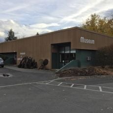
Museum of North Idaho
25 km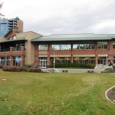
Coeur d'Alene Public Library
24.8 km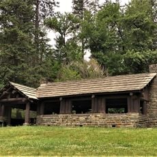
Chatcolet Lower Picnic Shelter
8.4 km
Plummer Point Picnic Shelter
9.9 km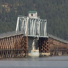
Chatcolet Bridge
8.2 km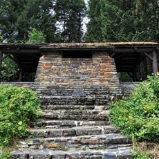
Plummer Point CCC Picnic and Hiking Area
9.9 km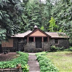
Rocky Point Assistant Park Manager's Residence
10.9 kmVisited this place? Tap the stars to rate it and share your experience / photos with the community! Try now! You can cancel it anytime.
Discover hidden gems everywhere you go!
From secret cafés to breathtaking viewpoints, skip the crowded tourist spots and find places that match your style. Our app makes it easy with voice search, smart filtering, route optimization, and insider tips from travelers worldwide. Download now for the complete mobile experience.

A unique approach to discovering new places❞
— Le Figaro
All the places worth exploring❞
— France Info
A tailor-made excursion in just a few clicks❞
— 20 Minutes