St. Mary River Formation, Geological formation in Alberta, Canada and Montana, United States.
The St. Mary River Formation is a geological sequence of sandstone, mudstone, and coal layers found across southwestern Alberta and northwestern Montana. The layers are exposed at the surface in several locations, where erosion has gradually uncovered the rock over time.
The formation dates to the Late Cretaceous, a time when the land alternated between shallow water environments and river systems. George Mercer Dawson described and named the layers scientifically in the 1880s during a government survey of the region.
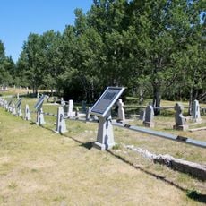
The formation has drawn fossil hunters and researchers to the exposed rock faces for well over a century, and their work is still visible in places where layers have been studied or sampled. Local communities on both sides of the border use the area for outdoor education, bringing students to read the rock layers as pages of a natural record.
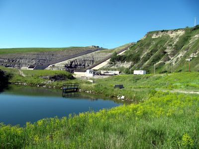
The formation is accessible at several spots in both Alberta and Montana where the rock layers are exposed at the surface and easy to approach on foot. Sturdy footwear is a good idea, as the ground can be uneven and paths are often unmarked.
The formation holds more than 100 layers that carry dinosaur footprints from different species, including both plant-eating and meat-eating types. At some outcrops, these tracks are still visible today, showing that several species crossed the same ground at around the same time.
The community of curious travelers
AroundUs brings together thousands of curated places, local tips, and hidden gems, enriched daily by 60,000 contributors worldwide.