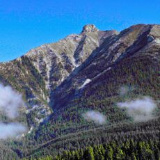
Palliser Formation, Limestone geological formation in Alberta, Canada
Palliser Formation is a limestone layering that extends across the Canadian Rockies and appears as steep rock faces in several areas. It consists of two distinct units: one with fine-grained limestone and another section containing traces of ancient marine organisms.
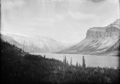
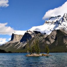
H.H. Beach identified and named the formation in 1943 near Lake Minnewanka, establishing a reference section in the Devil's Gap area. This scientific naming paved the way for further research into the geological history of this mountain region.
The formation takes its name from John Palliser, a 19th-century explorer whose expeditions shaped geological understanding of Western Canada. His legacy remains embedded in this stone, marking an era when explorers first documented the region's natural features.
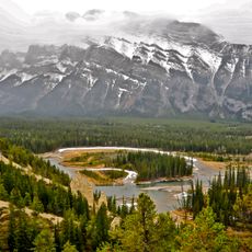
You can best explore the layers of this formation along trails and road sections in the national parks, where the rock faces are clearly visible. It is possible to visit the outcrops throughout the year, though autumn and spring often provide favorable conditions.
The Morro Member of this formation consists of particularly fine, compact limestone that stands out distinctly from the coarser material in other layers. This varying composition helps reveal different chapters of the region's geological past.
The community of curious travelers
AroundUs brings together thousands of curated places, local tips, and hidden gems, enriched daily by 60,000 contributors worldwide.