Bluerock Wildland Provincial Park, Provincial park in Kananaskis Improvement District, Canada.
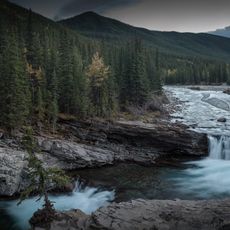
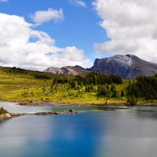
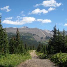
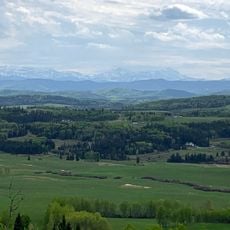
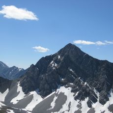
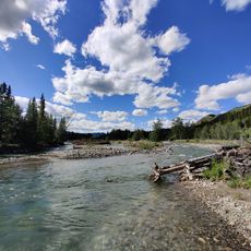
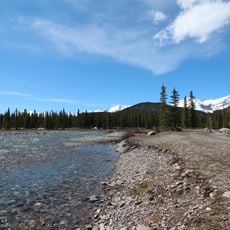
Bluerock Wildland Provincial Park covers 12,719.59 hectares of foothills terrain in the Kananaskis Improvement District, 15 kilometres west of Turner Valley along Alberta Highway 546. The Sheep River valley runs through its centre, from the 2,789 m summit of Bluerock Mountain in the northwest down to 1,322 m at the eastern boundary. Bedrock ridges of sandstone, shale and siltstone rise above the valley, where the Sheep River and its tributary creeks have cut canyons.
Provincial authorities created the park in 2001 specifically to protect the Sheep River watershed and strengthen ecological conservation across the Kananaskis region. This decision was part of a broader effort to safeguard the area's most important natural zones.
The park takes its name from Bluerock Creek, which forms part of its western boundary, and from Bluerock Mountain, the creek's source. The creek, Gorge Creek and Dyson Creek all enter the Sheep River within the neighbouring Sheep River Provincial Park, and the Sheep River valley runs through the centre of Bluerock itself.
Visitors need a Kananaskis Conservation Pass to park in the area, and Alberta Highway 546 closes from December through mid-May to protect wildlife during winter. Planning a visit outside these months or finding alternative access points helps ensure a smoother experience.
Alberta Highway 546 and the Gorge Creek road are both closed west of the Sandy McNabb Recreation Area from 1 December to 15 May, and this winter closure protects range used by Rocky Mountain Bighorn Sheep and other wildlife. The park's lowest point, 1,322 m, lies where the Sheep River leaves its eastern boundary.
The community of curious travelers
AroundUs brings together thousands of curated places, local tips, and hidden gems, enriched daily by 94,499 contributors worldwide.