Kananaskis Improvement District
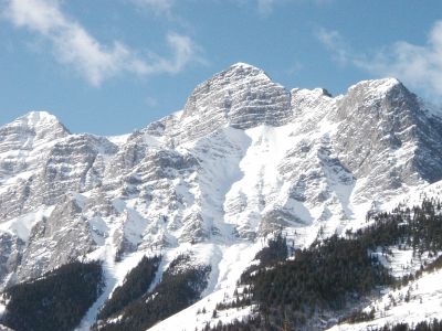
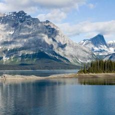
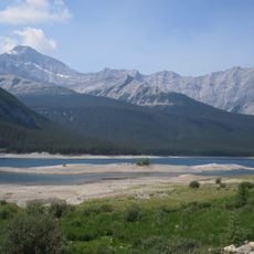
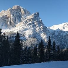
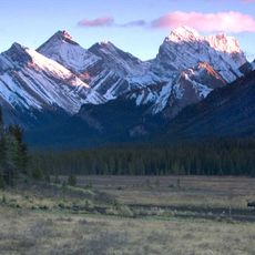
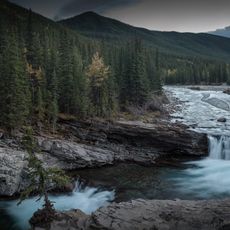
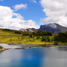
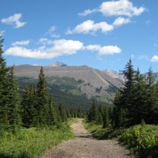
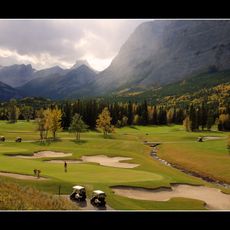
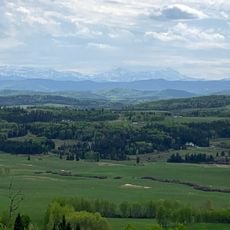
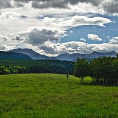
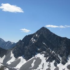
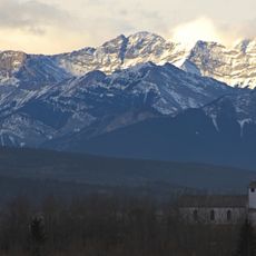
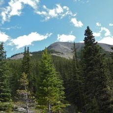
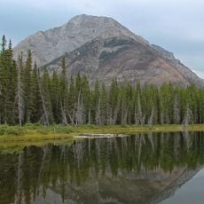
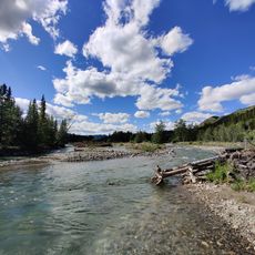
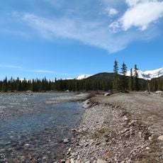
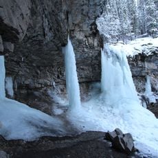
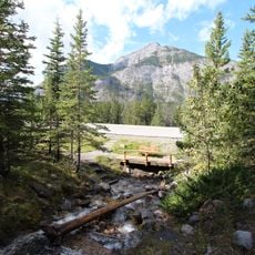
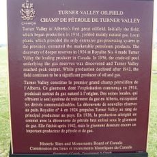
Kananaskis Improvement District, improvement district in Alberta, Canada
Location: Alberta
Shares border with: Municipal District of Bighorn No. 8, Rocky View County, Foothills County, Improvement District No. 09 (Banff National Park), Municipal District of Ranchland No. 66, Stoney 142, 143, 144, Canmore, Regional District of East Kootenay
Website: http://kananaskisid.ca
GPS coordinates: 50.60000,-114.90000
Latest update: March 5, 2025 06:40
Barrier Lake
49 km
Peter Lougheed Provincial Park
22.6 km
Spray Lakes Reservoir
46.5 km
Mount Kidd
38.6 km
Spray Valley Provincial Park
42.5 km
Sheep River Provincial Park
20.3 km
Bragg Creek Provincial Park
43.9 km
Elbow-Sheep Wildland Provincial Park
9.1 km
Kananaskis Country Golf Course
37.8 km
Brown-Lowery Provincial Park
40.7 km
Bluerock Wildland Provincial Park
18 km
Mount Tyrwhitt
8.4 km
Skogan Peak
47.9 km
Midnight Peak
43.4 km
Mount Buller
43.5 km
Fitzsimmons Creek Provincial Recreational Area
27.8 km
Little Elbow Provincial Recreation Area
21.6 km
Troll Falls
42.4 km
Percheron Box Stalls
50.1 km
Work Horse Barn, Building 17
50.1 km
O'Shaughnessy Falls
46 km
Vehicle Garage, Building 35
49.9 km
Pearson's House
49.9 km
Bar U Ranch Woodshed
49.9 km
Bar U Ranch Implement Shed
50.1 km
Bar U Ranch Dairy Barn
50.2 km
Turner Valley Oilfield
44.8 km
Harold Chapman Bridge
21.5 kmReviews
Visited this place? Tap the stars to rate it and share your experience / photos with the community! Try now! You can cancel it anytime.
Discover hidden gems everywhere you go!
From secret cafés to breathtaking viewpoints, skip the crowded tourist spots and find places that match your style. Our app makes it easy with voice search, smart filtering, route optimization, and insider tips from travelers worldwide. Download now for the complete mobile experience.
A unique approach to discovering new places❞
— Le Figaro
All the places worth exploring❞
— France Info
A tailor-made excursion in just a few clicks❞
— 20 Minutes