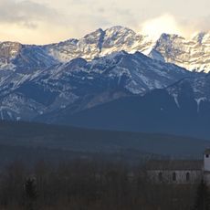
Mount Kidd, Rocky summit in Kananaskis Country, Canada
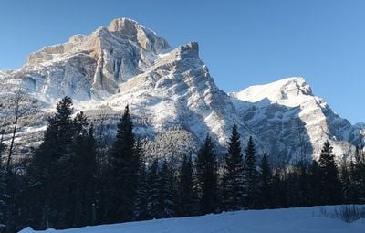
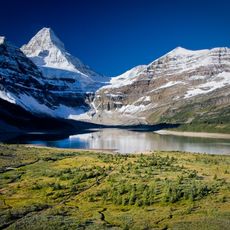
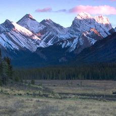
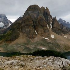
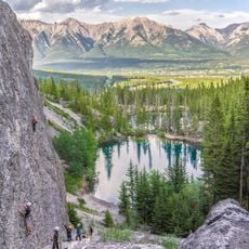
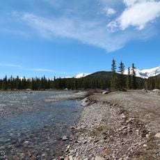
Mount Kidd is a mountain in Kananaskis Country with two distinct summits reaching 2,958 meters (9,704 feet) in elevation. The peaks rise between the Kananaskis River Valley and the surrounding mountain range, featuring rock and snow formations across different elevations.
The mountain was named in 1907 by engineer Donaldson Bogart Dowling after John Alfred Kidd, a store owner in Morley who supported early exploration efforts. This naming honored someone who played a role in assisting expeditions throughout the region.
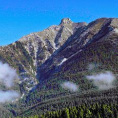
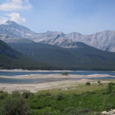
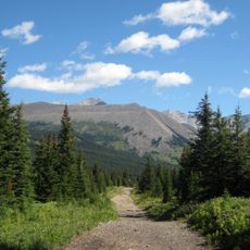
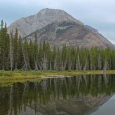
The mountain draws climbers who regularly train here and practice different techniques on its rock faces. The northeastern side attracts many people looking to develop their skills in a challenging environment.
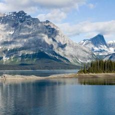
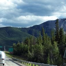
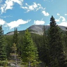
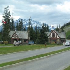
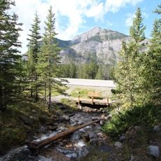
Visitors can reach the mountain via Highway 40, heading south from the Trans-Canada Highway for about 33 kilometers to the Galatea Creek Day Use parking area. This location offers several access points for hiking and climbing activities suited to different skill levels.
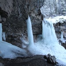
The rock layers of this mountain display geological strata from Precambrian through Jurassic periods. These formations are remnants of ancient seas and major geological shifts that shaped the landscape over vast periods of time.
Location: Alberta
Location: Kananaskis Country
Elevation above the sea: 2,958 m
GPS coordinates: 50.89365,-115.19011
Latest update: December 12, 2025 07:52
Barrier Lake
17.2 km
Peter Lougheed Provincial Park
23.7 km
Cardium Formation
30.8 km
Anû Kathâ Îpa
28.8 km
Canmore Nordic Centre Provincial Park
26.2 km
Mount Assiniboine Provincial Park
38.4 km
Bow Valley Provincial Park
21.9 km
Spray Lakes Reservoir
10.6 km
Spray Valley Provincial Park
6.7 km
Elbow-Sheep Wildland Provincial Park
31.3 km
Kananaskis Country Golf Course
3.4 km
Canmore Nordic Centre
26.1 km
Skogan Peak
12.4 km
Sunburst Peaks
32.4 km
Midnight Peak
14.5 km
Mount Buller
8.7 km
Ralph Connor Memorial United Church
24.7 km
Bow Valley Wildland Provincial Park
16.1 km
Whitemans Pond
25 km
Rat's Nest Cave
18.8 km
Canmore North West Mounted Police Barracks
24.7 km
East Gate Registration Buildings, Building 3
30.9 km
East Gate Registration Buildings, Building 2
30.9 km
East Gate Registration Buildings, Building 1
30.9 km
Little Elbow Provincial Recreation Area
25.7 km
Troll Falls
6.9 km
O'Shaughnessy Falls
14.3 km
Harold Chapman Bridge
26 kmVisited this place? Tap the stars to rate it and share your experience / photos with the community! Try now! You can cancel it anytime.
Discover hidden gems everywhere you go!
From secret cafés to breathtaking viewpoints, skip the crowded tourist spots and find places that match your style. Our app makes it easy with voice search, smart filtering, route optimization, and insider tips from travelers worldwide. Download now for the complete mobile experience.
A unique approach to discovering new places❞
— Le Figaro
All the places worth exploring❞
— France Info
A tailor-made excursion in just a few clicks❞
— 20 Minutes