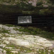
Kananaskis Country, Protected area in Alberta, Canada
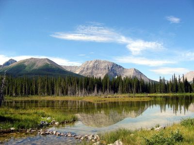
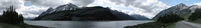
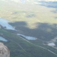
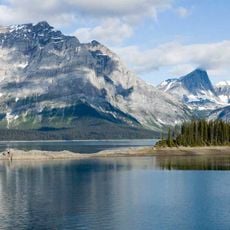
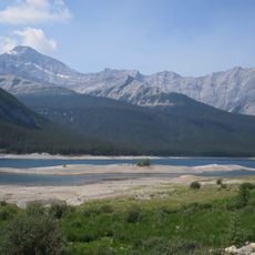
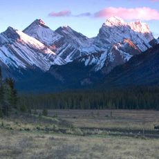
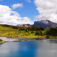
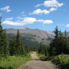
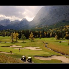
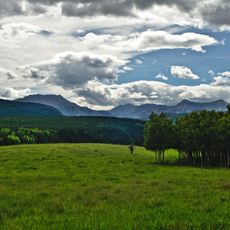
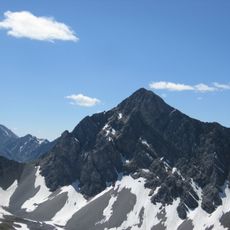
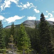
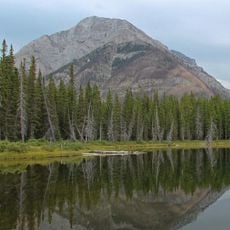
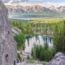
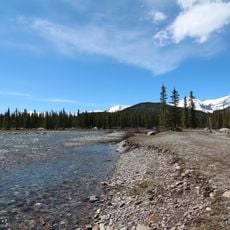
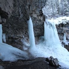
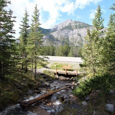
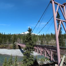
Kananaskis Country is a protected region in Alberta spanning multiple provincial parks and recreation areas positioned at the foot of the Canadian Rockies. The landscape features alpine lakes, evergreen forests, and varied mountain terrain with numerous trails and outdoor access points.
The name derives from the Kananaskis River, which explorer John Palliser named in 1858 following an encounter with a Cree person during his expedition through the area. The region gained prominence as a protected area and recreation destination during the mid-twentieth century.
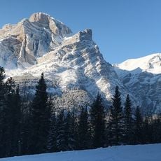
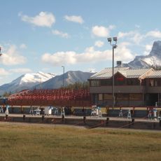
Winter sports define how visitors experience this region, shaped by the 1988 Olympics that brought international attention to its slopes and trails. The legacy remains visible in the facilities and how people use the mountains across seasons.
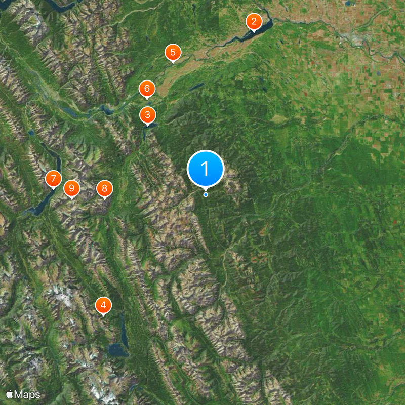
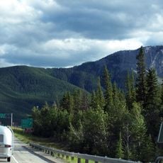
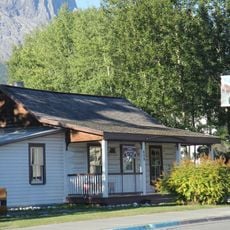
The region can be accessed via three main highways: Highway 40 provides the primary route, while Highway 66 and the gravel road variant of Highway 68 offer alternatives. Mountain passes operate seasonally, with full accessibility typically during summer months when weather permits safe travel.
The Highwood Pass reaches approximately 2,200 m (7,200 ft) and holds the distinction of being Canada's highest paved road, though it closes seasonally during winter months. Snow and harsh mountain conditions make year-round travel impossible on this route.
The community of curious travelers
AroundUs brings together thousands of curated places, local tips, and hidden gems, enriched daily by 60,000 contributors worldwide.