
Bridger, town in Carbon County, Montana, United States
Location: Carbon County
Elevation above the sea: 1,117 m
GPS coordinates: 45.29440,-108.91600
Latest update: March 3, 2025 01:17
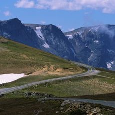
Beartooth Highway
56.4 km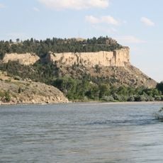
Rimrocks
62.3 km
ZooMontana
53.8 km
Chief Plenty Coups State Park and Home
32.3 km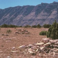
Bad Pass Trail
59.7 km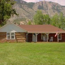
Ewing-Snell Ranch
56.3 km
Cedarvale
58.5 km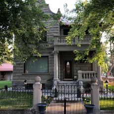
Michael Jacobs House
46.9 km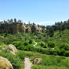
Pictograph Cave State Park
62.1 km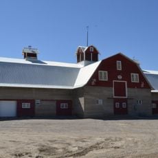
Gebo Barn
6.7 km
The Reef
54.7 km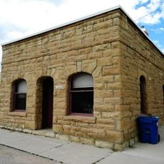
Bearcreek Bank
24.1 km
Oliver H. Hovda House
48.1 km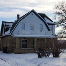
Forsman House
640 m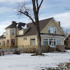
Corey House
819 m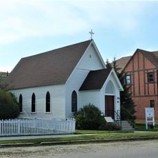
Calvary Episcopal Church
28.7 km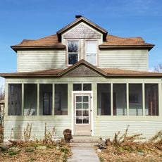
Hester E. Suydam Boarding House
10.9 km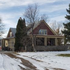
Glidden House
805 m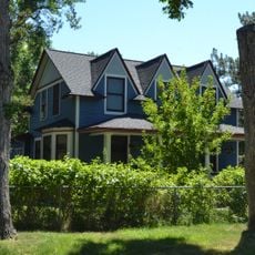
Stoltz House
37.3 km
Joliet Bridge
21.2 km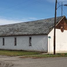
Fromberg Opera House
11 km
Fromberg Concrete Arch Bridge
11 km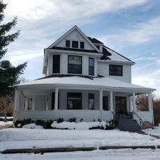
Raymond Hough House
169 m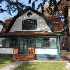
Samuel Greenblatt House
10.9 km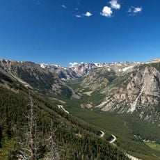
Rock Creek
26.9 km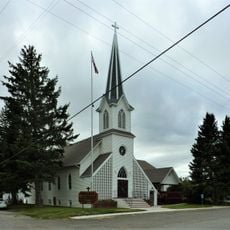
Immanuel Lutheran Church (Absarokee)
48.1 km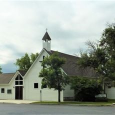
St. James Lutheran Church (Columbus, Montana)
46.7 km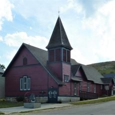
Beartooth Mountain Baptist Church (Red Lodge)
28.8 kmVisited this place? Tap the stars to rate it and share your experience / photos with the community! Try now! You can cancel it anytime.
Discover hidden gems everywhere you go!
From secret cafés to breathtaking viewpoints, skip the crowded tourist spots and find places that match your style. Our app makes it easy with voice search, smart filtering, route optimization, and insider tips from travelers worldwide. Download now for the complete mobile experience.

A unique approach to discovering new places❞
— Le Figaro
All the places worth exploring❞
— France Info
A tailor-made excursion in just a few clicks❞
— 20 Minutes