Beartooth Highway, Scenic route through Wyoming and Montana, United States.
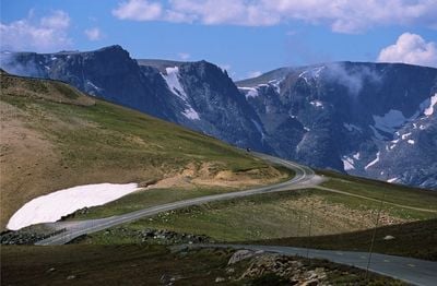
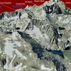
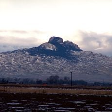
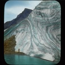
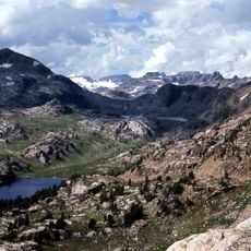
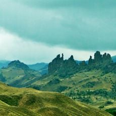
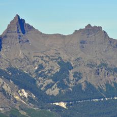
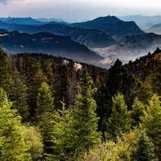
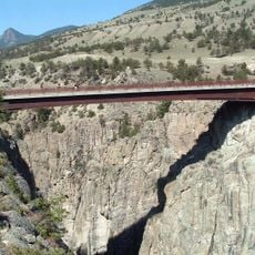
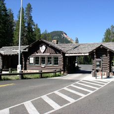
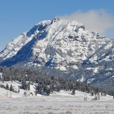
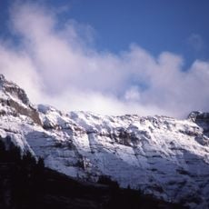
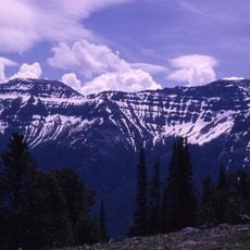
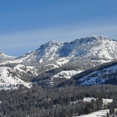
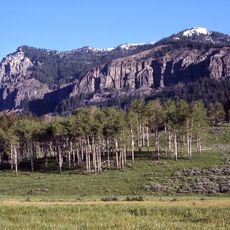
The Beartooth Highway stretches across 68 miles through Montana and Wyoming, connecting Red Lodge to the northeast entrance of Yellowstone National Park.
The highway construction received federal funding through the National Park Approaches Act of 1931 and opened to traffic on June 14, 1936.
The road earned recognition in the National Register of Historic Places in 2014 as the Red Lodge - Cooke City Approach Road Historic District.
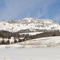
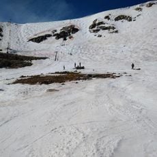
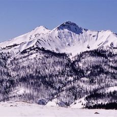
The highway operates from late May to mid-October, reaching elevations of 10,947 feet in Wyoming and requiring drivers to check weather conditions before travel.
General Philip Sheridan and his troops crossed Beartooth Pass in August 1872, following a hunter's suggestion for a shorter return route from Yellowstone.
Location: Wyoming
Location: Montana
Part of: U.S. Route 212 in Montana
GPS coordinates: 44.96830,-109.46500
Latest update: May 26, 2025 20:55
Montana offers a range of landscapes from the peaks of Glacier National Park to the central plains. The state has several mountain routes including the Going-to-the-Sun Road and the Beartooth Highway, both exceeding 3,000 meters in elevation. Glacial lakes such as Flathead Lake and Lake McDonald stretch over miles, with geological formations revealing millions of years of natural history. The Museum of the Rockies in Bozeman holds significant dinosaur fossil collections. Montana's mining history is evident in the streets of Virginia City, a former territorial capital founded in 1863, where over 200 buildings from the 19th century are preserved. The Little Bighorn Battlefield commemorates the 1876 conflicts between the U.S. Army and Native American nations. To observe local wildlife, the Grizzly and Wolf Discovery Center houses bears and wolves in protected habitats. Hikers can take the 18-kilometer Highline Trail along the continental divide or walk to the Grinnell Glacier through alpine lakes in Glacier National Park.
Granite Peak
35.3 km
Smith Mansion
56.5 km
Heart Mountain
43.4 km
Buffalo Bill Dam
56.5 km
Grasshopper Glacier
37.8 km
Absaroka-Beartooth Wilderness
39.6 km
Buffalo Bill State Park
56.6 km
Pilot Peak
32.9 km
Druid Peak
56.7 km
Mount Wood
43.7 km
Beartooth Basin Summer Ski Area
2.5 km
Sunlight Creek Bridge
22.2 km
Northeast Entrance Station
43.1 km
Abiathar Peak
44.7 km
Buffalo Bill Dam
56.6 km
Barronette Peak
49.1 km
The Thunderer
47.2 km
Mount Norris
50.7 km
Mount Hornaday
53.7 km
Saddle Mountain
50.1 km
Ralston Community Clubhouse
54.2 km
Bearcreek Bank
32.3 km
Calvary Episcopal Church
29.8 km
Clay Butte Lookout
13 km
St. Olaf Lutheran Church
49.8 km
Raymond Hough House
56.3 km
Beartooth Mountain Baptist Church (Red Lodge)
29.7 km
Hoodoo Basin
41.6 kmReviews
Visited this place? Tap the stars to rate it and share your experience / photos with the community! Try now! You can cancel it anytime.
Discover hidden gems everywhere you go!
From secret cafés to breathtaking viewpoints, skip the crowded tourist spots and find places that match your style. Our app makes it easy with voice search, smart filtering, route optimization, and insider tips from travelers worldwide. Download now for the complete mobile experience.
A unique approach to discovering new places❞
— Le Figaro
All the places worth exploring❞
— France Info
A tailor-made excursion in just a few clicks❞
— 20 Minutes