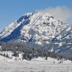
Mount Wood, Mountain summit in Stillwater County, Montana, US
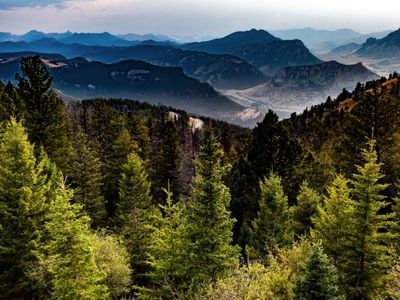
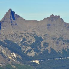
Mount Wood is a mountain summit in the Granite Range of the Beartooth Mountains, reaching approximately 12,660 feet in elevation. The peak sits within Custer National Forest and provides challenging climbing terrain for experienced mountaineers.
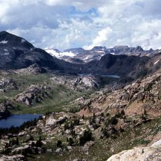
The peak was recorded during early geological surveys of Montana and documented in maps from that era. It ranks among the state's highest mountains and stands as the tallest point in Stillwater County.
The mountain, situated within Custer National Forest, represents a significant destination for mountaineers seeking technical climbing experiences in Montana's wilderness.
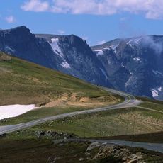
The climb starts from West Rosebud Trailhead, located roughly 80 miles southwest of Billings and serves as the main access point. Plan your visit between mid-July and mid-September when snow melt is complete and trails are in best condition.
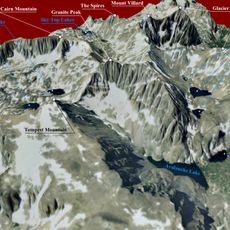
The summit actually consists of two distinct peaks separated by a short distance across the ridge. This dual-peak structure creates confusion among climbers about which point truly reaches the highest elevation.
The community of curious travelers
AroundUs brings together thousands of curated places, local tips, and hidden gems, enriched daily by 60,000 contributors worldwide.