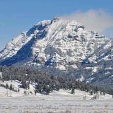
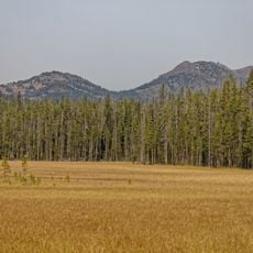
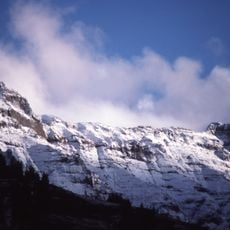
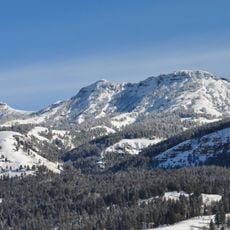
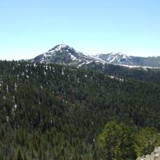
The Thunderer, Mountain summit in Yellowstone National Park, Wyoming, US.
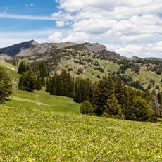
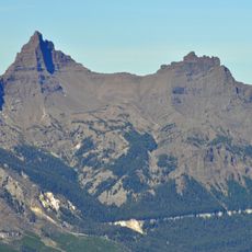
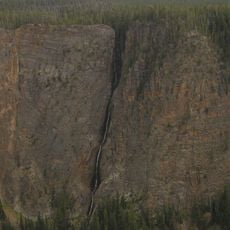
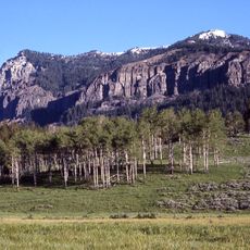
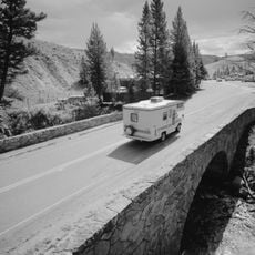
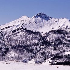
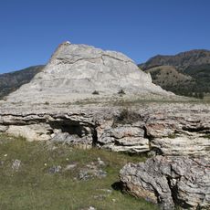
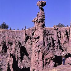
The Thunderer is a peak in the Absaroka Range in the northeast of Yellowstone National Park, Wyoming, reaching 10,558 feet (3,218 m). It forms a long high ridge just north of Mount Norris, rising above the Lamar Valley and visible from the Northeast Entrance Road as it climbs through the Soda Butte Creek canyon.
Before 1885, The Thunderer was treated as a high ridge running north from Mount Norris rather than a separately named peak. Members of the Arnold Hague Geological Survey gave it its own name that year because the ridge attracted thunderstorms. It rises to 10,558 feet (3,218 m) in the Absaroka Range.
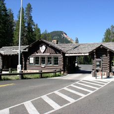
The name comes from the Arnold Hague Geological Survey of 1885, whose members noted how the ridge attracted thunderstorms. Before that survey, the ridge was treated as an extension of Mount Norris rather than a peak in its own right. The Thunderer is visible from the northeast entrance road where it climbs through the Soda Butte Creek canyon.
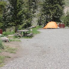
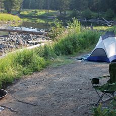
This summit is accessible via the Thunderer Cutoff Trail, a hiking path of about 7 miles that starts from the trailhead opposite Pebble Creek Campground. Good footwear and careful footing are important, especially at higher elevations where snow patches may linger throughout the season.
Before 1885, mapmakers treated The Thunderer as no more than a high ridge running north from Mount Norris; the Hague survey gave it a separate name after noting how often storms gathered over it. The 7.4-mile Thunderer Cutoff Trail reaches the ridge's north end from a trailhead across from Pebble Creek Campground.
The community of curious travelers
AroundUs brings together thousands of curated places, local tips, and hidden gems, enriched daily by 93,846 contributors worldwide.