Pilot Peak, Mountain summit in Park County, Wyoming, United States
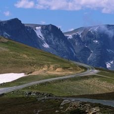
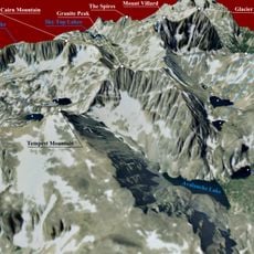
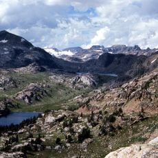
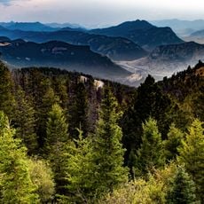
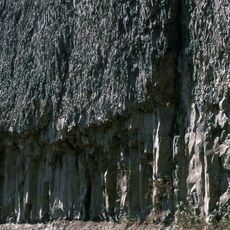
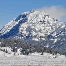
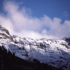
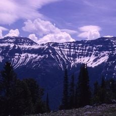
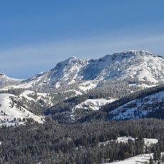
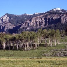
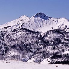
Pilot Peak is a mountain summit in the Absaroka Range that rises to 11,699 feet (3,566 m) above sea level. The peak displays sheer rock faces composed of dark volcanic material, visible from considerable distances on clear days.
Pilot Peak's name first appeared on an 1873 map and was officially adopted by the United States Board on Geographic Names in 1937. The first documented ascent was made on 12 August 1932 by Hollis Mees and Robert McKenzie. The mountain is composed of crumbly rock and is rarely climbed.
The name Pilot Peak appeared on a map in 1873 and was formally adopted by the United States Board on Geographic Names in 1937. The peak stands in the North Absaroka Wilderness of Shoshone National Forest, directly east of Yellowstone National Park, and is visible from the Beartooth Highway (US Route 212).
The best climbing window is between June and September when snow coverage is minimal. The route demands solid rock climbing skills and specialized equipment such as ropes and safety gear.
Pilot Peak is composed of crumbly rock and is rarely climbed; its first documented ascent came only on 12 August 1932, by Hollis Mees and Robert McKenzie. The name had already appeared on an 1873 map and was officially adopted by the United States Board on Geographic Names in 1937.
The community of curious travelers
AroundUs brings together thousands of curated places, local tips, and hidden gems, enriched daily by 94,452 contributors worldwide.