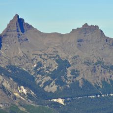
Abiathar Peak, Mountain summit in Yellowstone National Park, United States.
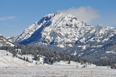
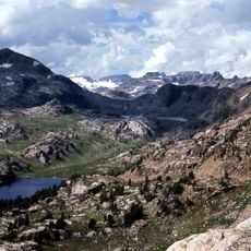
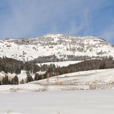
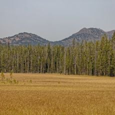
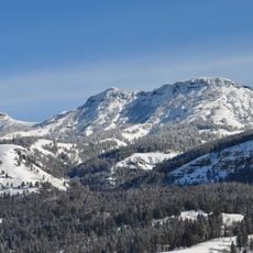
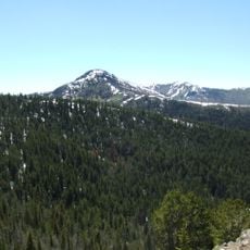
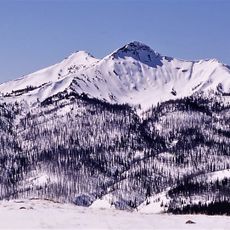
Abiathar Peak is a mountain summit reaching approximately 10,928 feet in the northeastern section of Yellowstone National Park within the Absaroka Range of Wyoming. The peak rises above the forested valleys below, offering views across the surrounding mountain landscape.
The peak was named in 1885 by members of the Hague Geological Survey after Charles Abiathar White, a geologist who conducted early surveys in the western United States. This naming coincided with the period when scientists were intensively mapping the geology of the Yellowstone region.
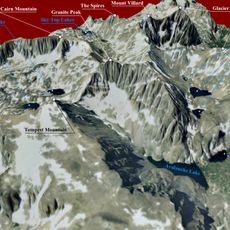
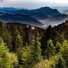
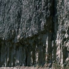
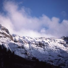
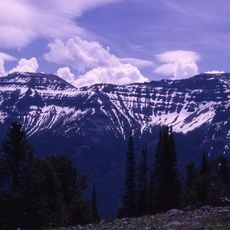
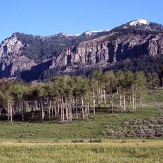
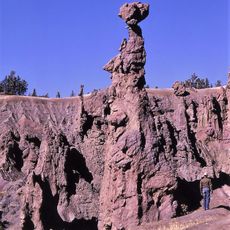
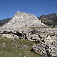
The peak stands within the Absaroka Range, a mountain range with distinctive geological formations that have drawn scientific attention for over a century. Visitors who reach this elevation encounter layers of rock that tell the story of volcanic and tectonic activity.
Hikers should be prepared for thinner air and cooler temperatures at this elevation, bringing sturdy navigation tools and appropriate gear for mountain conditions. Access routes vary in difficulty depending on the specific trail chosen and seasonal conditions.
Despite its substantial elevation, this summit remains less well-known than other peaks in the park and offers hikers a quieter experience. Its relative remoteness means fewer visitors reach it, making it a place where the mountain environment feels less crowded.
The community of curious travelers
AroundUs brings together thousands of curated places, local tips, and hidden gems, enriched daily by 60,000 contributors worldwide.