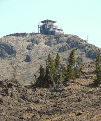
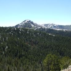
Mount Washburn, Mountain summit in Yellowstone National Park, US
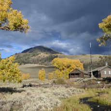
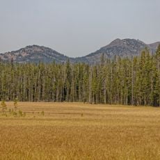
Mount Washburn is a mountain summit in Yellowstone National Park rising above 3,000 meters (10,000 feet), with two trails that pass through different mountain ecosystems. The slopes are covered with coniferous forests, meadows, and rocky sections that appear as you climb.
The mountain was named during the Washburn-Langford-Doane Expedition of 1870, a key exploration that led to the later establishment of Yellowstone as a national park. This expedition helped bring attention to the region's remarkable features.
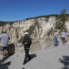
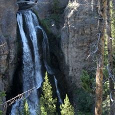
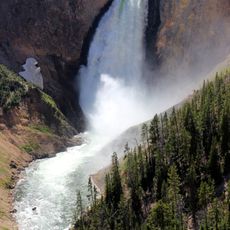
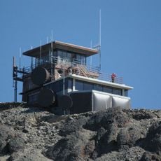
The fire lookout tower on the summit offers views across the surrounding landscape and shows how people have traditionally used this location to monitor the region. Visitors can see the wide caldera and thermal features of the park from there.
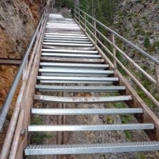
The climb is possible via two different routes, one direct and one steeper, both accessible to hikers of mixed fitness levels. The easier route is wider and better marked, while the steeper path gets you to the top faster.
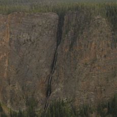
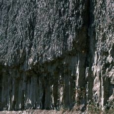
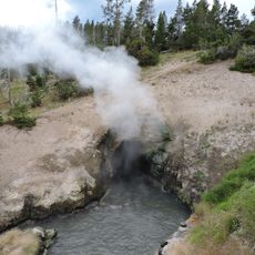
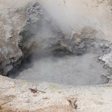
The mountain is the northern portion of a giant volcano that was torn apart by a massive eruption in ancient times. From the summit, visitors can sense this old volcanic story in the shape and structure of the land around them.
The community of curious travelers
AroundUs brings together thousands of curated places, local tips, and hidden gems, enriched daily by 60,000 contributors worldwide.