Druid Peak, Mountain summit in Yellowstone National Park, Wyoming, US.
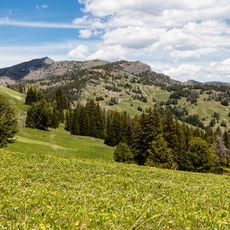
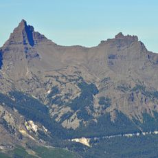
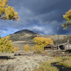
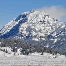
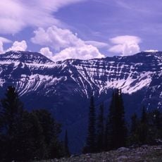
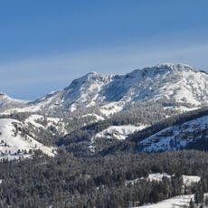
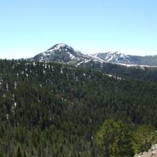
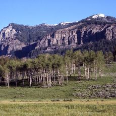
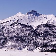
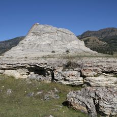
Druid Peak is a rounded summit of 9,577 feet (2,919 m) on the southern flank of the Absaroka Range, just north of where the Lamar River and Soda Butte Creek meet at the head of the Lamar Valley. Its eastern face carries rock formations that resemble Stonehenge, which some historians link to its 1885 name.
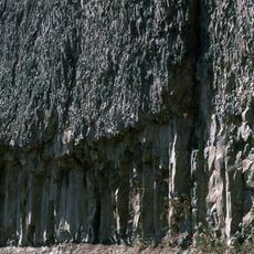
The Hayden Geological Survey of 1878 called the summit Soda Hill, and superintendent Philetus Norris named it Mount Longfellow or Longfellows' Peak in 1880. In 1885 the Arnold Hague Geological Survey renamed it Druid Peak for unknown reasons; some historians link the name to Stonehenge-like rock formations on the eastern face.
The Rose Creek pack was released in January 1995 from a pen on Rose Creek, which flows west from the peak's northern slope. A second release followed in January 1996 from pens on the mountain's slopes, and that pack became known as the Druid Pack. The two events mark the start of wolf reintroduction in Yellowstone.
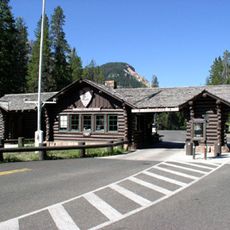
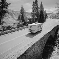
Access requires driving about 17 miles from the Northeast Entrance and then hiking over mostly unmarked terrain. The route is demanding and requires good navigation skills, so visitors should be comfortable with map reading and rough ground.
The name Druid Peak, adopted in 1885 by the Arnold Hague Geological Survey, may come from Stonehenge-like rock formations on the eastern face; the survey gave no reason. The summit also carried two earlier names: Soda Hill, from the Hayden Geological Survey of 1878, and Mount Longfellow, used by superintendent Philetus Norris in 1880.
The community of curious travelers
AroundUs brings together thousands of curated places, local tips, and hidden gems, enriched daily by 94,009 contributors worldwide.