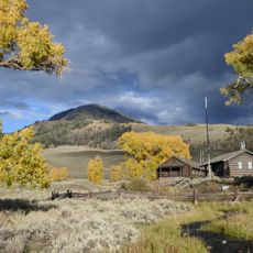
Saddle Mountain, Mountain summit in Yellowstone National Park, United States
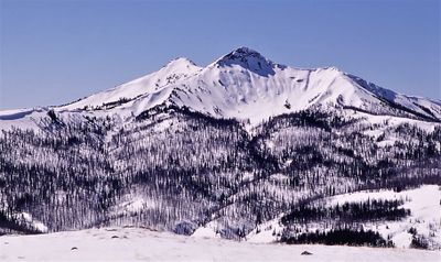
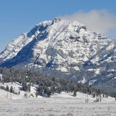
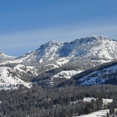
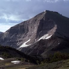
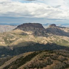
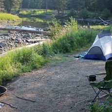
Saddle Mountain is a peak in Yellowstone National Park that reaches 10,670 feet (3,250 m) in the Absaroka Range of Wyoming. The summit rises significantly above the surrounding Lamar River Valley and dominates the landscape in this section of the park's northeast area.
The peak was already known by its name in publications before 1899, long before the United States Board on Geographic Names officially recognized it in 1930. This early naming suggests that surveyors and cartographers had mapped the region and used local geographical references well before any formal designation.
The mountain stands within Yellowstone National Park's northeast section, marking the twentieth highest elevation point in this protected natural reserve.
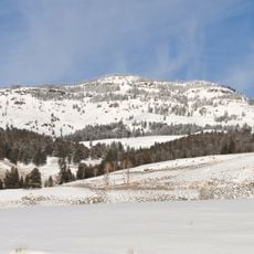
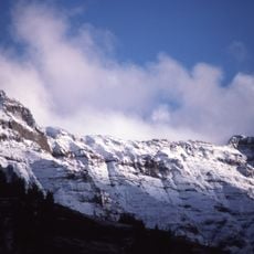
Winter conditions here are severe, with temperatures regularly dropping well below minus 10 degrees Celsius (14 degrees Fahrenheit), and wind chill can push conditions to minus 30 degrees Celsius (minus 22 degrees Fahrenheit) or lower. Visitors planning a winter ascent should prepare for extremely harsh weather and be ready for rapid changes as elevation increases.
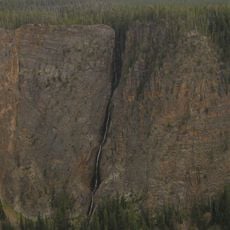
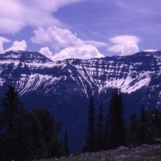
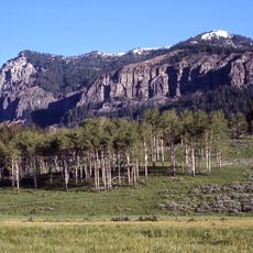
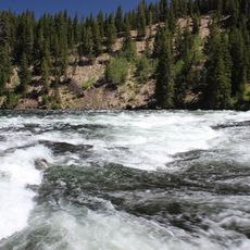
Water from this peak drains into several tributary systems of the Lamar River, making it a hidden contributor to the broader watershed of the region. Hikers rarely think about this ecological role while on the mountain, yet it connects the summit to the river valleys below in ways visitors do not directly see.
The community of curious travelers
AroundUs brings together thousands of curated places, local tips, and hidden gems, enriched daily by 60,000 contributors worldwide.