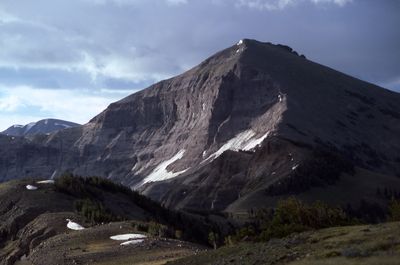
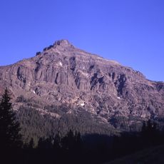
Mount Langford, Mountain summit in Yellowstone National Park, Wyoming, United States.
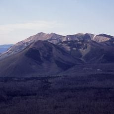
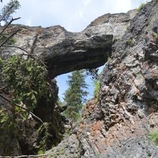
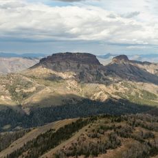
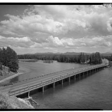
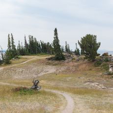
Mount Langford is a peak standing at about 10,600 feet in the Absaroka Range within Yellowstone National Park, characterized by steep slopes and exposed rock outcrops. The surrounding terrain features high alpine conditions and geological patterns shaped by volcanic activity and glacial processes.
The peak was climbed during the Washburn-Langford-Doane Expedition of 1870, one of the first systematic explorations of the Yellowstone region. This expedition helped convince the government to establish the area as a national park, which was officially created two years later.
The peak takes its name from Nathaniel P. Langford, the first superintendent of Yellowstone National Park, linking the mountain to the park's early development and protection efforts. Visitors who climb this summit connect with the legacy of the people who helped preserve this landscape.
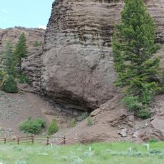
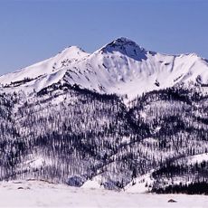
The climb requires advanced mountaineering skills and proper equipment, as the route crosses steep rocky sections where finding the path can be challenging. Weather conditions change rapidly at this elevation, so climbers should prepare for sudden storms and strong winds.
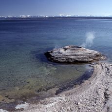
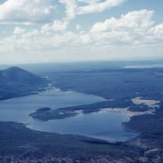
From the summit, you can see across the Yellowstone basin toward the Wind River Mountains, with distant ridges forming a panoramic edge of the landscape. This expansive view offers one of the few vantage points revealing the geological variety of the entire Yellowstone plateau.
The community of curious travelers
AroundUs brings together thousands of curated places, local tips, and hidden gems, enriched daily by 60,000 contributors worldwide.