Mount Sheridan, Mountain summit in Teton County, Wyoming, US
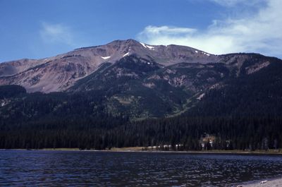
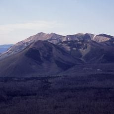
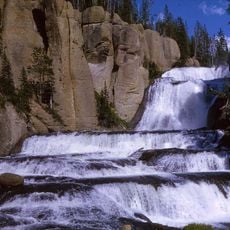
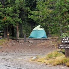
Mount Sheridan is a mountain peak in Teton County that rises to 3139 meters with steep granite slopes and an alpine environment throughout the region. The massif is part of the Teton Range and is crossed by multiple hiking trails that provide access to the summit and surrounding valleys.
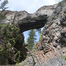
The mountain was formed millions of years ago through tectonic uplift and erosion within the Rocky Mountains and is part of an ancient mountain chain. These geological processes shaped the characteristic structure and height of the summit over geological time.
Native American tribes inhabited the region surrounding Mount Sheridan before European settlers arrived, using the mountain lands for hunting and seasonal migrations.
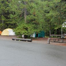
Visitors should bring layers and weather-appropriate gear since conditions at elevation can change quickly without warning. Check current trail conditions before heading out and allow plenty of time for the full journey up and back down.
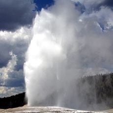
The summit stands out markedly from the surrounding peaks and serves as an important reference point for hikers and climbers throughout the region. This visibility makes it a landmark for navigation across the surrounding landscape.
The community of curious travelers
AroundUs brings together thousands of curated places, local tips, and hidden gems, enriched daily by 60,000 contributors worldwide.