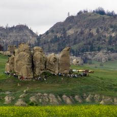
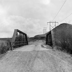
Wolf Mountains Battlefield, Battlefield site in Rosebud County, Montana, US.
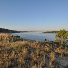
Wolf Mountains Battlefield is a battle site in Rosebud County, Montana where Army troops and warriors fought a decisive engagement across open landscape. The terrain features valleys, hills, and riverside plains where traces of this historical clash remain visible to visitors today.
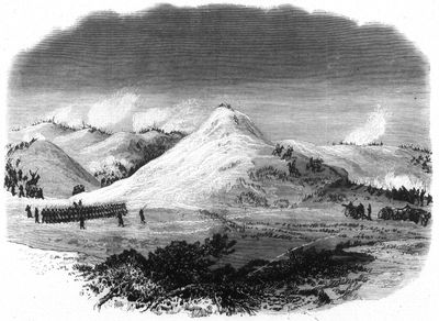
The battle occurred on January 8, 1877 during a snowstorm when Colonel Nelson Miles led his infantry troops against Crazy Horse and his warriors. This engagement was among the final major conflicts that marked military defeat for the Lakota and ended their freedom on the plains.
This location marks a turning point in Northern Plains Native American history that reshaped life and freedom for Lakota peoples forever. Visitors can sense today how this place holds central importance in indigenous communities' memory and understanding of their own past.
The site is open for visitors to walk across the landscape and see the terrain where fighting took place. Plan to wear suitable clothing for variable weather and allow enough time to explore different areas of this expansive ground.
The night before the fighting saw brutal cold that left the entire landscape covered in deep snow and ice, severely limiting visibility. These harsh weather conditions forced both sides to fight under extreme hardship, making the infantry victory all the more significant.
The community of curious travelers
AroundUs brings together thousands of curated places, local tips, and hidden gems, enriched daily by 60,000 contributors worldwide.