
Crook County, Administrative county in northeastern Wyoming, United States
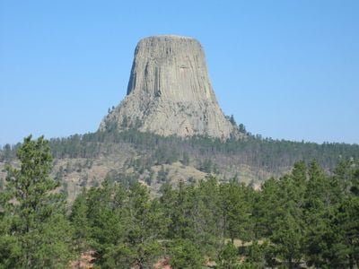
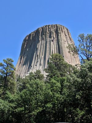
Crook County extends across 2,865 square miles of terrain, including the Missouri Buttes and the Bear Lodge Mountains in northeastern Wyoming.
The Wyoming Territory legislature established Crook County in December 1875, naming it after Brigadier General George Crook, a commander during the Indian Wars.
The county population maintains strong ties to German, English, Irish, and Swedish heritage, with religious practices centered around Protestant and LDS Church congregations.
Interstate 90 and multiple US highways connect the main towns of Sundance, Hulett, and Moorcroft, providing access to Rapid City and Gillette.
The Belle Fourche River marks Wyoming's lowest elevation point as it flows from Crook County into South Dakota through the Black Hills National Forest.
Location: Wyoming
Inception: 1875
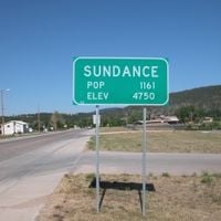
Capital city: Sundance
Shares border with: Campbell County, Weston County, Lawrence County, Butte County, Carter County, Powder River County
Website: http://crookcounty.wy.gov
GPS coordinates: 44.59000,-104.56000
Latest update: May 27, 2025 11:48


Deep Underground Science and Engineering Laboratory
68.3 km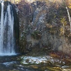
Spearfish Canyon
57.7 km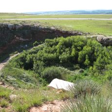
Vore Buffalo Jump
32.6 km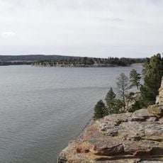
Keyhole State Park
34 km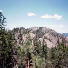
Inyan Kara Mountain
45.1 km
Ranch A
37 km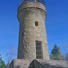
Mount Theodore Roosevelt Monument
67.1 km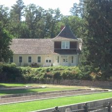
D.C. Booth Historic National Fish Hatchery
56.9 km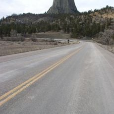
Wyoming Highway 110
12.2 km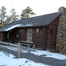
Old Headquarters Area Historic District
12.7 km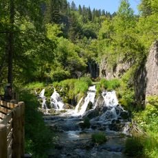
Roughlock Falls Nature Area
55.7 km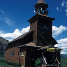
Old Finnish Lutheran Church
68.5 km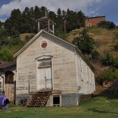
St. Lawrence O'Toole Catholic Church
67.7 km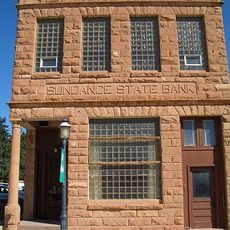
Sundance State Bank Building
25 km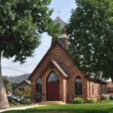
Episcopal Church of All Angels
56.5 km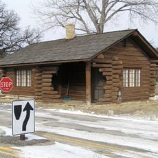
Entrance Station
11.1 km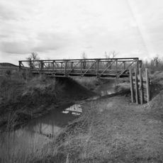
DXN Bridge
44.1 km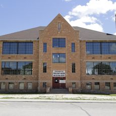
Sundance School
25.1 km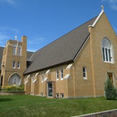
First Congregational United Church of Christ
56.9 km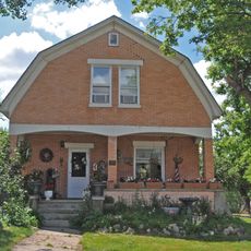
James A. Corbin House
56.9 km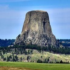
Devils Tower Information Marker
10.5 km
Spearfish Filling Station
56.8 km
Webb S. Knight House
57 km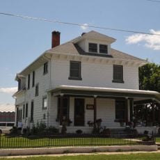
Thomas Haskins Gay House
57 km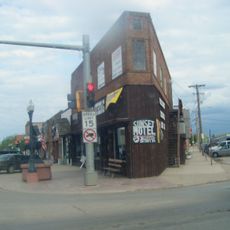
Belle Fourche Commercial Historic District
56.7 km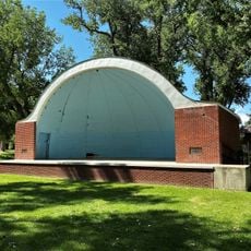
Belle Fourche Band Shell
57 km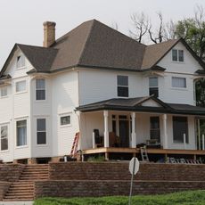
Arthur Hewes House
55.9 km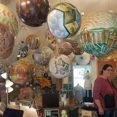
Termesphere Gallery
60.1 kmReviews
Visited this place? Tap the stars to rate it and share your experience / photos with the community! Try now! You can cancel it anytime.
Discover hidden gems everywhere you go!
From secret cafés to breathtaking viewpoints, skip the crowded tourist spots and find places that match your style. Our app makes it easy with voice search, smart filtering, route optimization, and insider tips from travelers worldwide. Download now for the complete mobile experience.

A unique approach to discovering new places❞
— Le Figaro
All the places worth exploring❞
— France Info
A tailor-made excursion in just a few clicks❞
— 20 Minutes