Chest opened
+${chestReward.xp} XP
Explorer
NOUVEAU ×${chestReward.collectible.quantity}
tapez pour fermer

See the monuments around you in AR Open chests in the app

Around Us is built for your phone — point your camera at the streets and discover the monuments and places around you in augmented reality. Around Us is built for your phone — chests unlock when you walk, explore and capture nearby places.

Enable Location

We need your location to show you interesting places around you

Discover nearby places

Find interesting locations and hidden gems around you

Precise directions

Get accurate directions and distances to places

Your location is never shared with other users. It's only used when you tap the location button.

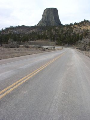
Wyoming Highway 110

Log in to your account

Start exploring — it's free

Trusted by 85,705 travelers worldwide

Continue with Google
Continue with Apple
or

We will send you a code to connect

By continuing, you accept our Terms and Conditions and our Privacy Policy

Check your inbox

We've sent a pincode in your inbox. Please enter the code below.

Discussion Reviews 1 Photos
1.8k Popularity

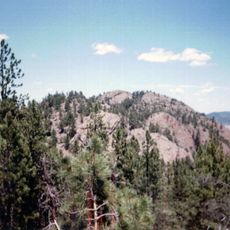
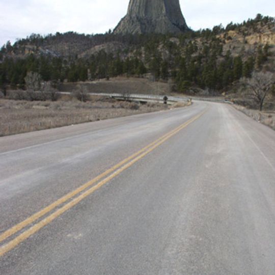
Wyoming Highway 110, Scenic route in Crook County, United States.

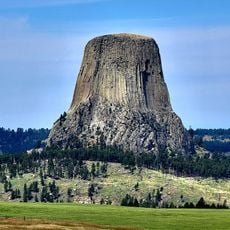
Wyoming Highway 110 is a short road in Crook County that leads to Devils Tower National Monument in eastern Wyoming. It connects the main entrance area to the monument grounds across less than 1 mile.

The road was built in 1917 as an important step to make the monument area accessible by car. Its historical significance later led to its listing on the National Register of Historic Places.

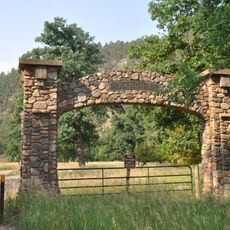
The road shows National Park Service rustic design with regional materials that blend into the surroundings. Visitors notice how the construction respects the natural setting rather than dominating it.

The road is drivable throughout the season and provides good access to viewpoints and trails around the monument. Visitors should expect local weather conditions and bring suitable gear.

The short drive offers views of the tower from angles found nowhere else at the site. This makes the route a favorite spot for photographers wanting to capture the monument under different lighting.

The community of curious travelers

AroundUs brings together thousands of curated places, local tips, and hidden gems, enriched daily by 60,000 contributors worldwide.
Start exploring
Location
Inception
1917
Architectural style
National Park Service rustic
GPS coordinates
44.58722,-104.71444
Latest update
August 30, 2026 18:44
Around this place
Spearfish Canyon
United States of America

Spearfish Canyon

43.3 mi
Vore Buffalo Jump
United States of America

Vore Buffalo Jump

27.7 mi
Keyhole State Park
United States of America

Keyhole State Park

18.4 mi
Inyan Kara Mountain
United States of America

Inyan Kara Mountain

31.5 mi
Ranch A
United States of America

Ranch A

30.3 mi
Mount Theodore Roosevelt Monument
United States of America

Mount Theodore Roosevelt Monument

48.9 mi
D.C. Booth Historic National Fish Hatchery
United States of America

D.C. Booth Historic National Fish Hatchery

42.8 mi
Old Headquarters Area Historic District
United States of America

Old Headquarters Area Historic District

0.4 mi
Roughlock Falls Nature Area
United States of America

Roughlock Falls Nature Area

41.4 mi
St. Lawrence O'Toole Catholic Church
United States of America

St. Lawrence O'Toole Catholic Church

49.2 mi
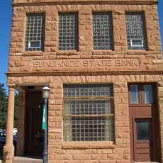
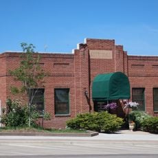
Sundance State Bank Building
United States of America

Sundance State Bank Building

20.7 mi
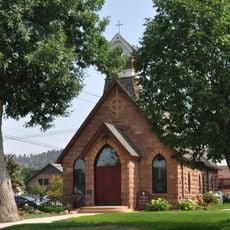
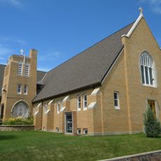
Episcopal Church of All Angels
United States of America

Episcopal Church of All Angels

42.6 mi
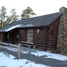
Entrance Station
United States of America

Entrance Station

0.7 mi
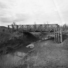
DXN Bridge
United States of America

DXN Bridge

29.4 mi
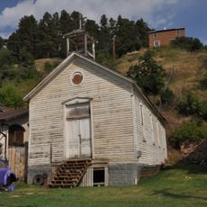
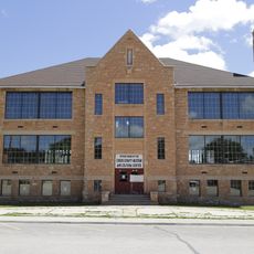
Sundance School
United States of America

Sundance School

20.8 mi
Gillette City Hall
United States of America

Gillette City Hall

40 mi
First Congregational United Church of Christ
United States of America

First Congregational United Church of Christ

42.9 mi
James A. Corbin House
United States of America

James A. Corbin House

42.8 mi
Devils Tower Information Marker
United States of America

Devils Tower Information Marker

2.3 mi
Spearfish Filling Station
United States of America

Spearfish Filling Station

42.7 mi
Webb S. Knight House
United States of America

Webb S. Knight House

42.9 mi
Thomas Haskins Gay House
United States of America

Thomas Haskins Gay House

42.9 mi
Belle Fourche Commercial Historic District
United States of America

Belle Fourche Commercial Historic District

42.8 mi
Belle Fourche Band Shell
United States of America

Belle Fourche Band Shell

43 mi
Arthur Hewes House
United States of America

Arthur Hewes House

42.2 mi
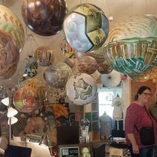
Termesphere Gallery
United States of America

Termesphere Gallery

44.8 mi
Gillette Fishing Lake
United States of America

Gillette Fishing Lake

44.2 mi
Gillette College Pedestrian Bridge
United States of America

Gillette College Pedestrian Bridge

45.2 mi
Show the full map
Reviews
Share your experience

No review yet

Discussions
Start a discussion...

No discussion yet

« Wyoming Highway 110 - Scenic route in Crook County, United States » is provided by Around Us (aroundus.com). Images and texts are derived from Wikimedia project under a Creative Commons license. You are allowed to copy, distribute, and modify copies of this page, under the conditions set by the license, as long as this note is clearly visible.

Discover hidden gems everywhere you go!

From secret cafés to breathtaking viewpoints, skip the crowded tourist spots and find places that match your style. Our app makes it easy with voice search, smart filtering, route optimization, and insider tips from travelers worldwide. Download now for the complete mobile experience.
Around Us App Screenshot

A unique approach to discovering new places

Le Figaro

All the places worth exploring

France Info

A tailor-made excursion in just a few clicks

20 Minutes

Around Us
Travel Guide & Maps
Download

Send to your phone

QR Code
1

Open the camera app on your mobile.

2

Point at the QR code with your camera. A notification will appear.

3

Tap the notification to open the link.