Enable Location

We need your location to show you interesting places around you

Discover nearby places

Find interesting locations and hidden gems around you

Precise directions

Get accurate directions and distances to places

Your location is never shared with other users. It's only used when you tap the location button.

Great Falls

Log in to your account

Start exploring — it's free

Trusted by 61,451 travelers worldwide

Continue with Google
Continue with Apple
or

We will send you a code to connect

By continuing, you accept our Terms and Conditions and our Privacy Policy

Check your inbox

We've sent a pincode in your inbox. Please enter the code below.

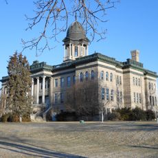
Great Falls, County seat in Montana, United States

Description

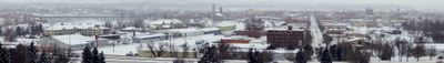
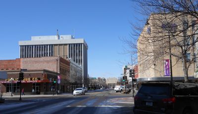
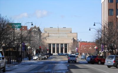
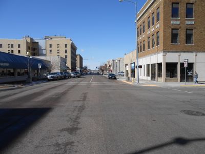
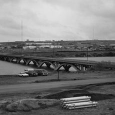
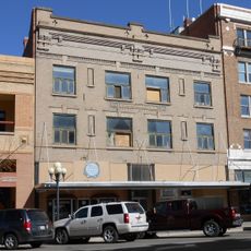
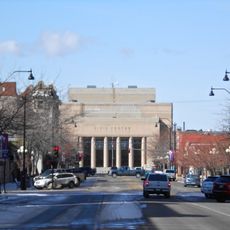
Great Falls is a county seat in Montana, United States, stretching along the Missouri River and serving as the economic and administrative center of Cascade County. The town sits at the transition from the Rocky Mountains to the Great Plains, where the river flows through a series of natural and dam-altered rapids.

History

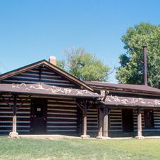
The settlement emerged in the 1880s when entrepreneurs recognized the hydroelectric potential and built factories and copper smelters along the riverbank. The railroad arrived shortly afterward, transforming the small settlement into a hub for agriculture, mining, and industry in northern Montana.

Culture

The town takes its name from five waterfalls on the Missouri, though some now lie behind dams while Rainbow Falls remains visible in its natural form. At Giant Springs State Park, visitors can still watch water emerge from underground sources at a constant temperature, just as it has shaped the landscape for thousands of years.

Practical

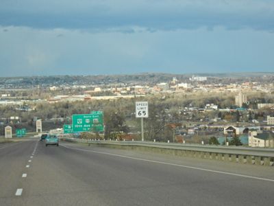
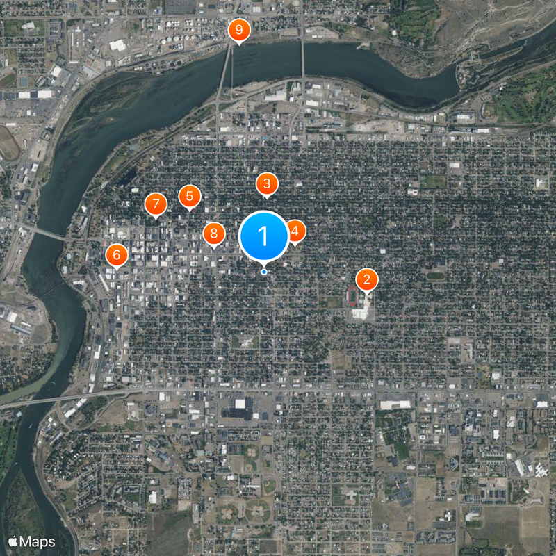
Public transport is limited, so a car works best for reaching the spread-out museums and parks along the river. Most visitor centers and museums lie within a short drive from downtown, while some natural waterfalls sit beyond city limits.

Did you know?

One of the largest freshwater springs in the world emerges at the edge of town and feeds the Roe River, which was long considered the shortest river on Earth. The spring pumps out millions of liters daily from underground reservoirs, maintaining the same temperature year-round.

Location
Inception
1883
Elevation above the sea
1,015 m
GPS coordinates
47.50361,-111.28639
Latest update
December 12, 2025 20:39

AroundUs brings together thousands of curated places, local tips, and hidden gems, enriched daily by 60,000 contributors worldwide. Discover all places nearby (Cascade County).

Around this place
United States of America

Great Falls High School

951 m
C. M. Russell Museum Complex
United States of America

C. M. Russell Museum Complex

678 m
Paris Gibson Square Museum of Art
United States of America

Paris Gibson Square Museum of Art

376 m
St. Ann's Cathedral
United States of America

St. Ann's Cathedral

883 m
Arvon Block
United States of America

Arvon Block

1.3 km
Cascade County Courthouse
United States of America

Cascade County Courthouse

1.1 km
Masonic Temple
United States of America

Masonic Temple

509 m
Tenth Street Bridge
United States of America

Tenth Street Bridge

2.1 km
Roberts Building
United States of America

Roberts Building

809 m
Lee M. Ford House
United States of America

Lee M. Ford House

1.3 km
Margaret Block
United States of America

Margaret Block

985 m
Electric City Water Park
United States of America

Electric City Water Park

1.8 km
Our Savior's Lutheran Church (Great Falls)
United States of America

Our Savior's Lutheran Church (Great Falls)

344 m
First English Evangelical Lutheran Church (Great Falls)
United States of America

First English Evangelical Lutheran Church (Great Falls)

707 m
Great Falls Central Business Historic District
United States of America

Great Falls Central Business Historic District

932 m
United States of America

Lions Park

2.2 km
United States of America

Memorial Park

1.1 km
Trinity Lutheran Church (Great Falls)
United States of America

Trinity Lutheran Church (Great Falls)

269 m
United States of America

Highland South Park

2.1 km
First Presbyterian Church (Great Falls)
United States of America

First Presbyterian Church (Great Falls)

276 m
United States of America

Girl Scout Park

1.7 km
United States of America

Hillcrest Lawn Memorial Mausoleum

1.6 km
United States of America

American Music

1.4 km
United States of America

Fine Arts Center

1.8 km
United States of America

Great Falls Civic Center

1.6 km

QGallery Sixteen

816 m
United States of America

Lewis and Clark Statue

2 km
United States of America

Work of art

1.6 km
Show the full map
« Great Falls - County seat in Montana, United States » is provided by Around Us (aroundus.com). Images and texts are derived from Wikimedia project under a Creative Commons license. You are allowed to copy, distribute, and modify copies of this page, under the conditions set by the license, as long as this note is clearly visible.

Discover hidden gems everywhere you go!

From secret cafés to breathtaking viewpoints, skip the crowded tourist spots and find places that match your style. Our app makes it easy with voice search, smart filtering, route optimization, and insider tips from travelers worldwide. Download now for the complete mobile experience.

Around Us App Screenshot

A unique approach to discovering new places

Le Figaro

All the places worth exploring

France Info

A tailor-made excursion in just a few clicks

20 Minutes

Around Us
Travel Guide & Maps
Download

Send to your phone

QR Code
1

Open the camera app on your mobile.

2

Point at the QR code with your camera. A notification will appear.

3

Tap the notification to open the link.