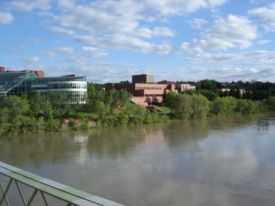
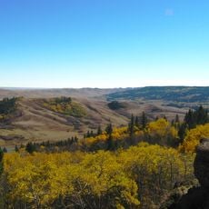
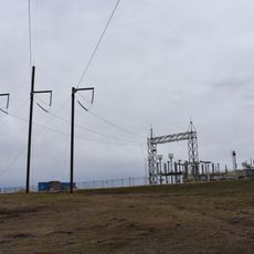
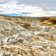
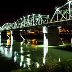
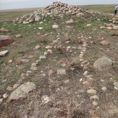
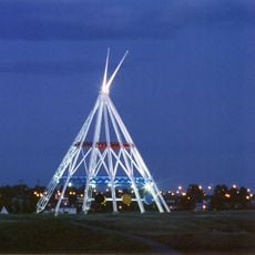
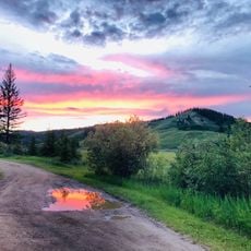
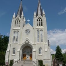
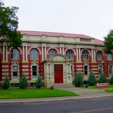
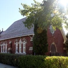
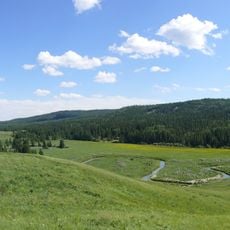
Medicine Hat, city in southeast Alberta, Canada
The community of curious travelers
AroundUs brings together thousands of curated places, local tips, and hidden gems, enriched daily by 60,000 contributors worldwide.
Location
Inception
1883
Elevation above the sea
690 m
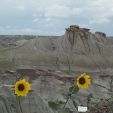
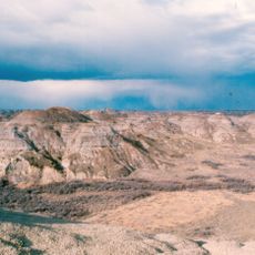
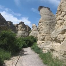
Part of
Alberta badlands
Shares border with
Redcliff
Website
GPS coordinates
50.03333,-110.66667
Latest update
March 4, 2025 14:14