
Redcliff, town in Alberta
Location: Alberta
Elevation above the sea: 745 m
Shares border with: Tilley, Medicine Hat
Website: http://redcliff.ca
GPS coordinates: 50.07917,-110.77833
Latest update: March 6, 2025 12:38
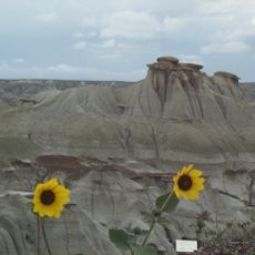
Dinosaur Provincial Park
91 km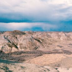
Dinosaur Park Formation
101.6 km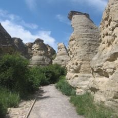
Writing-on-Stone Provincial Park
126.4 km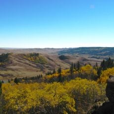
Cypress Hills Interprovincial Park
78.9 km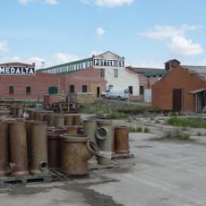
Medalta Potteries
10.6 km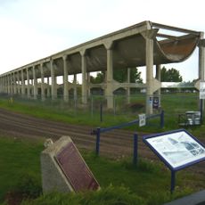
Brooks Aqueduct
91.5 km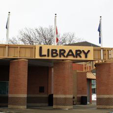
Medicine Hat Public Library
8.2 km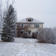
Neils Hogenson House
141.1 km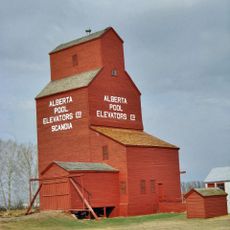
Scandia Eastern Irrigation District Museum
93.1 km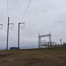
McNeill HVDC Back-to-back station
78.9 km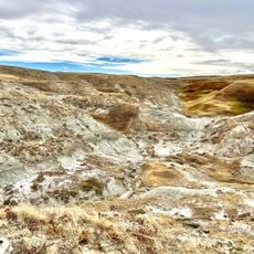
Devil's Coulee Dinosaur Heritage Museum
135.7 km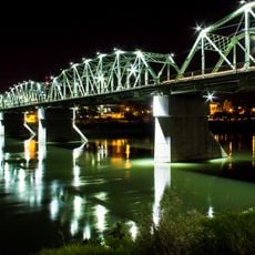
Finlay Bridge
8.2 km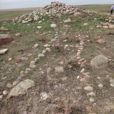
British Block Cairn
60.1 km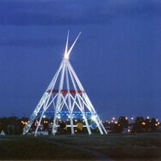
Saamis Tepee
9.4 km
Cypress Hills Provincial Park
64.3 km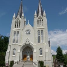
St. Patrick's Roman Catholic Church
7.9 km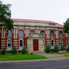
Medicine Hat Courthouse
8.2 km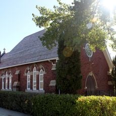
St. Ambrose Anglican Church
1 km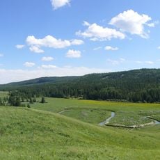
Cypress Hills massacre site
86.9 km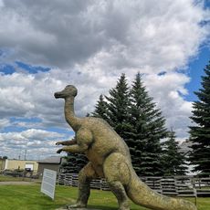
Brooks & District Museum
95.1 km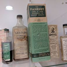
Gem of the West Museum
137.7 km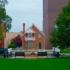
Ewart-Duggan Residence
8.3 km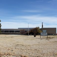
Ralston School (R2)
33.3 km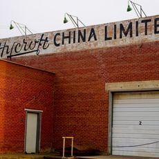
Hycroft China Ltd. Factory
10.4 km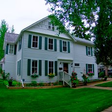
Cousins Residence
8.1 km
Scandia Alberta Wheat Pool Grain Elevator and Bow Slope Stockyard
93.1 km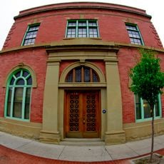
Cypress Club
8.5 km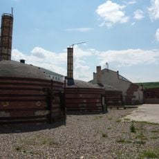
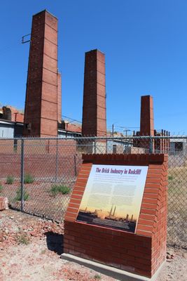
Medicine Hat Clay Industries
10.6 kmVisited this place? Tap the stars to rate it and share your experience / photos with the community! Try now! You can cancel it anytime.
Discover hidden gems everywhere you go!
From secret cafés to breathtaking viewpoints, skip the crowded tourist spots and find places that match your style. Our app makes it easy with voice search, smart filtering, route optimization, and insider tips from travelers worldwide. Download now for the complete mobile experience.

A unique approach to discovering new places❞
— Le Figaro
All the places worth exploring❞
— France Info
A tailor-made excursion in just a few clicks❞
— 20 Minutes