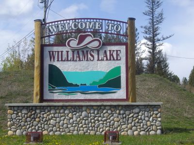
Williams Lake, Commercial hub in Central Interior, British Columbia, Canada.
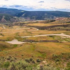
Williams Lake is a commercial city in the central Cariboo region positioned between expansive forests and mountain ranges. The city features a well-developed network of hiking trails, recreational facilities, and outdoor spaces, including the Scout Island Nature Centre with wetland observation areas.
The settlement began in 1860 during the Cariboo Gold Rush when Gold Commissioner Philip Nind established a local government to maintain order in the region. These early years continue to shape the city's heritage and identity today.
The annual Williams Lake Stampede is one of Canada's largest professional rodeos, drawing participants and spectators from around the world during the Canada Day weekend. The event is deeply rooted in local identity and shapes the community's spirit throughout the year.
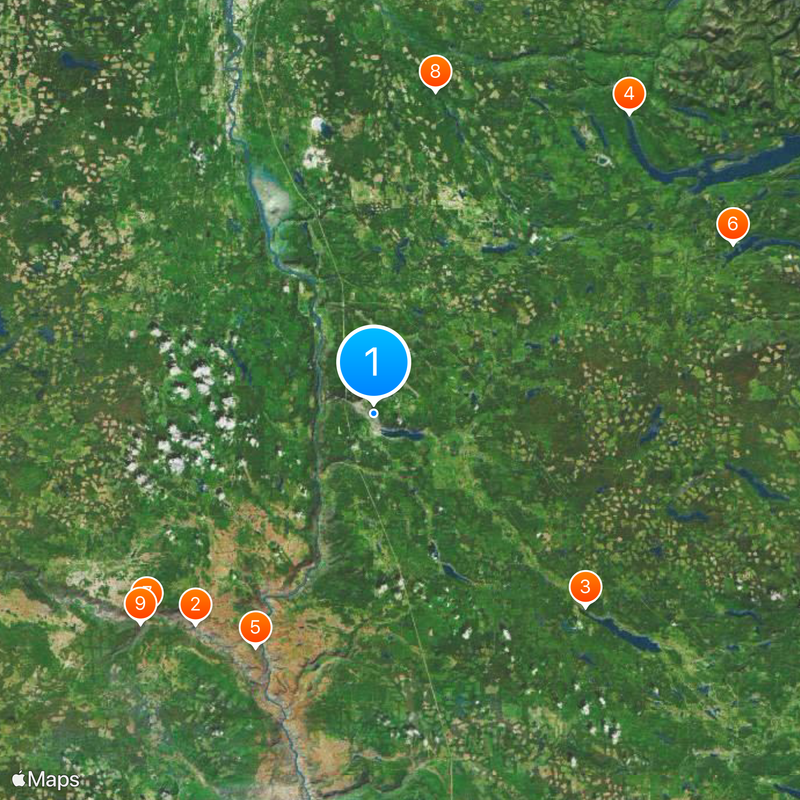
Visitors find easy access to hiking routes and outdoor recreation areas in and around the city, ideal for day trips into nature. Most of these outdoor spaces are within walking distance or just outside the city limits.
Orange Shirt Day, a national memorial day for residential school victims, originated from events at the former St. Joseph's Mission School located in the city. This significant remembrance tradition is observed across the country each year and makes the location a place of reflection and commemoration.
The community of curious travelers
AroundUs brings together thousands of curated places, local tips, and hidden gems, enriched daily by 60,000 contributors worldwide.